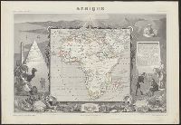
Relief shown by hachures., Coordinates not present on map and are approximated., In upper margins: Atlas universel illustré ... Ancien continent., Includes engraved illustrations in borders, statistics, descriptive text., Inset views: Alexandrie -- Le Caire -- Alger., and Appears in V. Levasseur's Atlas national illustré.
Publisher:
Chez A. Combette, editeur, rue de la Parcheminerie 15 and Impie. de Lemercier
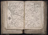
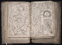
[Atlas factice of 96 maps by Blaeu, Visscher, Jansson, Hondius and others]
Image Count:
1
Description:
Imperfect: wormhole in center crease, with some loss of text. Reinforced along lower edges with manuscript waste. Sheet measures 38.8 x 51.6 cm. No. 34 of 92 maps bound together.
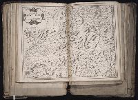
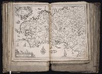
Publisher:
Christophe Tassin
Subject (Geographic):
Bresse (France : Region) --Maps --Early works to 1800
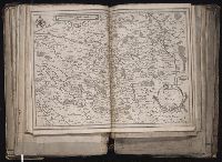
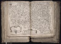
[Atlas factice of 96 maps by Blaeu, Visscher, Jansson, Hondius and others]
Image Count:
1
Description:
Imperfect: wormhole in center crease, with no loss of text. Reinforced along lower edges with manuscript waste. Sheet measures 38.9 x 51.5 cm. No. 33 of 92 maps bound together.