
Search
Limit your search
- cartographic✖[remove]5
- Maps✖[remove]5
- United States. Post Office Dept✖[remove]5
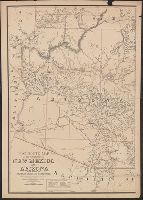
- Postal service--Arizona--Maps2
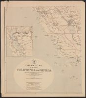
- Postal service--California--Maps1
- Postal service--Dakota Territory--Maps1
- Postal service--Idaho--Maps1
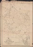
- Postal service--Montana--Maps1
- Postal service--Nevada--Maps1
- Postal service--New Mexico--Maps1
- Postal service--North Dakota--Maps1
- Postal service--South Dakota--Maps1
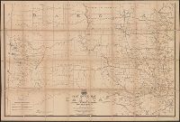
- Postal service--Wyoming--Maps1
- Roeser, C. (Charles)✖[remove]5