
Search


Limit your search
- Public58
- Maps, Atlases & Globes✖[remove]58
- Bellin, Jacques Nicolas, 1703-177213
- Robert de Vaugondy, Gilles, 1688-17666
- Bonne, Rigobert, 1727-17944
- Robert de Vaugondy, Didier, 1723-17863
- Fer, Nicolas de, 1646-17202
- La Rochefoucauld-Liancourt, François-Alexandre-Frédéric, duc de, 1747-18272
- Le Rouge, Georges-Louis2
- Thevet, André, 1502-15902
- Barrey, Yves L1
- Bellin, Jacques Nicolas, 1703-1772, cartographer1
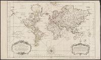
- World maps--Early works to 18003
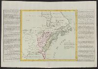
- British--America--Maps--Early works to 18001
- Cartographers--France--18th century1
- Coasts--Alabama--Maps--Early works to 18001
- Coasts--Florida--Maps--Early works to 18001
- Coasts--Louisiana--Maps--Early works to 18001
- Coasts--Southern States--Maps--Early works to 18001
- Historic buildings--France--Paris--Maps1
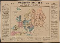
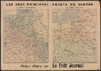
- World War, 1914-1918--France--Maps1
- Robert de Vaugondy, Gilles, 1688-1766. Atlas universel7
- Haye, G. de la., engraver5
- Robert de Vaugondy, Didier, 1723-17865
- La Harpe, Jean-François de, 1739-1803. Abrégé de l'Histoire générale des voyages4
- Bonne, Rigobert, 1727-1794. Atlas de toutes les parties connues du globe terrestre3
- Charlevoix, Pierre-François-Xavier de, 1682-17613
- France. Dépôt des cartes et plans de la marine3
- Bellin, Jacques Nicolas, 1703-1772. Atlas maritime2
- La Rochefoucauld-Liancourt, François-Alexandre-Frédéric, duc de, 1747-1827. Voyage dans les Etats Unis d'Amerique fait en 1795, 1796 et 17972
- Reynal, Guillaume Thomas2
- [Paris :✖[remove]58
Current results range from 1575 to 1919