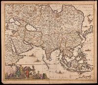
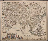
Appears in various editions of Wit's Atlas., Hand colored in outline., Imperfect: chipped and torn along edges, with no loss of text. Backed with paper., Map of Asia from Saudi Arabia, Russia, India, China, Japan to Southeast Asia., Number "4" in upper right corner., and Relief shown pictorially.
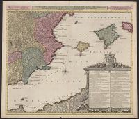
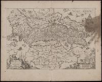
Achaiae noua & accurata descriptio and Achaiae nova et accurata descriptio
Description:
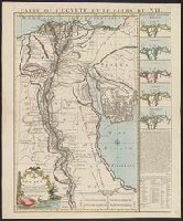
Coordinates not present on map and are approximated., Includes four bar scales., Manuscript number in upper left corner: 30. Cardinal directions written in Latin manuscript along neat line., Relief shown pictorially., and Verso blank.
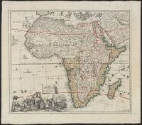
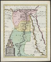
"Joannes Christophorus I.B. Homanni filius delineavit. Cum privilegio Sac. Caes. Majestatis.", Hand col. Sheet measures 65.5 x 56.5 cm., Includes illustrations of cataracts of the Nile, the pyramids, tombs, various antiquities, sce, and Relief shown by hachures.
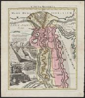
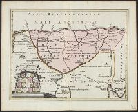
Covers region of Egypt and Sudan adjoining the Nile River., Includes decorative cartouche with ill. of coins., and Relief shown pictorially.
Publisher:
C. Weigel,
Subject (Geographic):
Egypt--Historical geography--Maps--Early works to 1800, Nile River Region--Historical geography--Maps--Early works to 1800, and Sudan--Historical geography--Maps--Early works to 1800