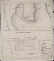
Чертезъ украинским и черкаскимъ городамъ от Москвы до Киева, и въ крымскую землу, дороги болшие, красные, черние, малшие.
Description:
Relief shown pictorially. and Stamp: Koenigl. Kartograph. Institut, Berlin. On verso in manuscript: "Mappa Expeditionis Moscovitica Duce Galicin Aõ 1681". Piece of paper with shelf mark attached at upper edge: "Cl. N. 16 [undeciphered].
Subject (Geographic):
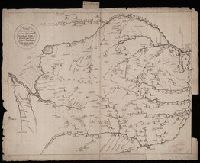
Kiev (Ukraine : Oblast)--Maps--Early works to 1800.
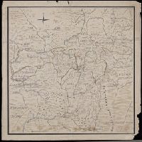
In manuscript on map: Kapitan" Matveĭ Loginov"; on verso: Ural-Gebiet, zwischen Kasan u. Jekaterinburg; stampf of the Königliches Kartographisches Institut, Berlin., Relief shown pictorially and by spot heights., and Title devised by cataloger.
Subject (Geographic):
Orenburgskai︠a︡ oblastʹ (Russia)--Maps--Early works to 1800. and Ural Mountains (Russia)--Maps--Early works to 1800.