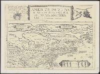
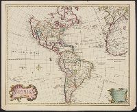
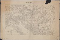
Includes text., Prime meridian: Ferro., Relief shown pictorially., Shows northwest coast in the form used in Guillaume De L'Isle's 1722 map of America. Cf. Wagner, H.R. Cartog. of the NW coast, p. 142., and Tooley refers to this map in Mapping of America, p. 13,
Publisher:
s.n.,
Subject (Geographic):
America--Maps--Early works to 1800
Subject (Name):
L'Isle, Guillaume de, 1675-1726 and L'Isle, Joseph Nicolas de, 1688-1768
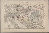
3 Copies. Copy 1: Ms. notes: Proposed Lines, Former Lines, and Linguistic Lines in blue, green, and pink ink; description of map in upper right in pencil.
Publisher:
s.n.,
Subject (Geographic):
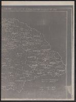
Balkan Peninsula--Maps
Subject (Topic):
Ethnology--Balkan Peninsula--World War, 1914-1918 and Ethnology--Europe, Eastern--World War, 1914-1918