Search
You Searched For
Search Results
- Creator:
- De Witt, Simeon, 1756-1834
- Published / Created:
- [1793?]
- Call Number:
- 771 1793
- Container / Volume:
- BRBL_00477
- Image Count:
- 1
- Resource Type:
- Maps, Atlases & Globes
- Found in:
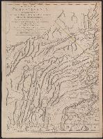
- Beinecke Rare Book and Manuscript Library > 1st sheet of De Witt's state-map of New-York / C. Tiebout sculp. NYork.
- Creator:
- Scull, William, active 1765, cartographer.
- Published / Created:
- 10 June 1775.
- Call Number:
- 774 1775
- Container / Volume:
- BRBL_00730
- Image Count:
- 3
- Resource Type:
- Maps, Atlases & Globes
- Found in:
- Beinecke Rare Book and Manuscript Library > A map of Pennsylvania exhibiting not only the improved parts of that Province, but also its extensive frontiers: Laid down from actual surveys, and chiefly from the late map of W. Scull published in 1770; and humbly inscribed to the Honorable Thomas Penn
- Creator:
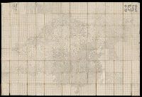
- Dong, Fangli, active 19th century, cartographer
董方立, active 19th century, cartographer
- Published / Created:
- Daoguang 12 [1842]
- Call Number:
- Covers 56 +1842
- Image Count:
- 1
- Resource Type:
- cartographic image
- Found in:
- Beinecke Rare Book and Manuscript Library > Huang chao yi tong yu di quan tu, 皇朝壹統輿地全圖
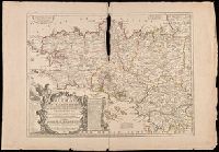
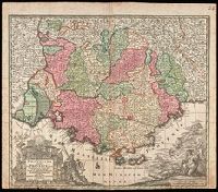
- Creator:
- Nolin, Jean Baptiste, 1648-1708
- Published / Created:
- 1703
- Call Number:
- 381 1703
- Image Count:
- 1
- Resource Type:
- Maps, Atlases & Globes
- Found in:
- Beinecke Rare Book and Manuscript Library > La Province ou Duché de Bretagne divisée en deux grandes parties, qui sont la Haute, et la Basse Bretagne, le gouvernement general de Bretagne, comprenant les lieutenances generales de Bretagne et du Comté Nantois : la Lieutenance Generale de Bretagne
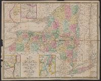
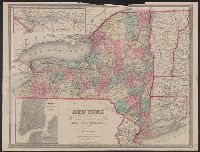
- Creator:
- Mitchell, S. Augustus (Samuel Augustus), 1792-1868
- Published / Created:
- 1843
- Call Number:
- 771 1843
- Container / Volume:
- BRBL_00478
- Image Count:
- 1
- Resource Type:
- Maps, Atlases & Globes
- Found in:
- Beinecke Rare Book and Manuscript Library > Map of the State of New York [cartographic material] : compiled from the latest authorities.
- Creator:
- Smith, J. Calvin (John Calvin)
- Call Number:
- 771 1858
- Container / Volume:
- BRBL_00479
- Image Count:
- 1
- Resource Type:
- Maps, Atlases & Globes
- Found in:
- Beinecke Rare Book and Manuscript Library > Map of the state of New York, showing the boundaries of counties & townships, the location of cities, towns and villages, the courses of rail roads, canals & state roads / by J. Calvin Smith ; engraved on steel by Sherman & Smith.
- Creator:
- Seutter, Matthaeus, 1678-1756
- Published / Created:
- [1740?]
- Call Number:
- BrSides Double Folio 2019 40
- Image Count:
- 1
- Resource Type:
- Maps, Atlases & Globes
- Found in:
- Beinecke Rare Book and Manuscript Library > Provincia Gallis la Provence dicta : determinata in omnes suas praefecturas cum terris confinibus et alluentib. Maris Mediterranei partibus / cura et caelo Matthaei Seutteri, S.C.M. Geogr. Augustani ; Gottfr. Rogg inv. et delin.
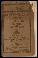
- Creator:
- Rand McNally and Company, cartographer
- Published / Created:
- c1921.
- Call Number:
- Covers 796 1921
- Image Count:
- 102
- Found in:
- Beinecke Rare Book and Manuscript Library > Rand McNally indexed pocket map, tourists' and shippers' guide of Texas