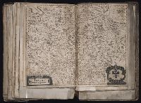
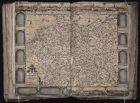
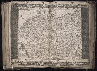
[Atlas factice of 96 maps by Blaeu, Visscher, Jansson, Hondius and others]
Image Count:
1
Description:
Imperfect: bar scales and title cartouche cut-out and replaced with ms. title Tirolis, comitatus principalis and ill. respectively; torn along fold, with some loss of text. Sheet measures 39.5 x 50.7 cm. Reinforced along edges with printed waste. No. 86 of 92 maps bound together. and Numbered 92 on verso.
Publisher:
Joannes Janssonius excudit
Subject (Geographic):
Trentino-Alto Adige (Italy) --Maps --Early works to 1800 and Tyrol (Austria) --Maps --Early works to 1800
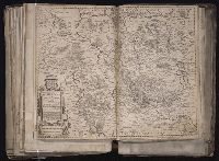
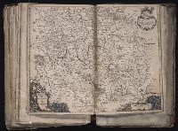
[Atlas factice of 96 maps by Blaeu, Visscher, Jansson, Hondius and others]
Image Count:
1
Description:
Imperfect: tear along fold and mutilated at bottom, with some loss of text and ills. (some reproduced in ms.). Reinforced along lower edges with manuscript waste. Sheet measures 45.9 x 54 cm. No. 56 of 92 maps bound together. and Numbered 60 on verso.
Publisher:
[Nicolaes Visscher?]
Subject (Geographic):
Zeeland (Netherlands : Province) --Maps --Early works to 1800
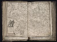
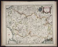
[Atlas factice of 96 maps by Blaeu, Visscher, Jansson, Hondius and others]
Image Count:
1
Description:
Imperfect: torn and mutilated along fold, with some loss of text; edges reinforced with ms. waste. Sheet measures 41.0 x 51.8 cm. No. 73 of 92 maps bound together. and Numbered 79 [and 74, cancelled] on verso.
Publisher:
Joan and Cornelis Blaeu
Subject (Geographic):
Lower Saxony (Germany) --Maps --Early works to 1800
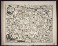
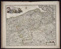
[Atlas factice of 96 maps by Blaeu, Visscher, Jansson, Hondius and others]
Image Count:
1
Description:
Imperfect: torn and mutilated along fold and edges, partially repaired, with some loss of text. Sheet measures 41.8 x 52.6 cm. No. 11 of 92 maps bound together.
Publisher:
C.J. Visscher excudit
Subject (Geographic):
Lower Saxony (Germany) --Maps --Early works to 1800
[Atlas factice of 96 maps by Blaeu, Visscher, Jansson, Hondius and others]
Image Count:
1
Description:
Imperfect: mutilated along edges, with some loss of cartouche and bar scale engravings, reproduced in ms. Reinforced along edges with manuscript and printed waste. Sheet measures 41.7 x 53.7 cm. No. 75 of 92 maps bound together. and Numbered 81 [76, cancelled] on verso.
Mercator, Gerhard, 1512-1594 Visscher, Claes Jansz., 1586 or 7-1652
Published / Created:
ao. 1650
Call Number:
1983 Folio 19
Collection Title:
[Atlas factice of 96 maps by Blaeu, Visscher, Jansson, Hondius and others]
Image Count:
1
Description:
Imperfect: torn and mutilated along fold and edges, partially repaired, with some loss of text. Sheet measures 45.5 x 56.3 cm. No. 61 of 92 maps bound together. and Numbered 66 on verso.
Mercator, Gerhard, 1512-1594 Visscher, Claes Jansz., 1586 or 7-1652
Published / Created:
ao. 1657
Call Number:
1983 Folio 19
Collection Title:
[Atlas factice of 96 maps by Blaeu, Visscher, Jansson, Hondius and others]
Image Count:
1
Description:
Imperfect: torn and mutilated along fold and edges, partially repaired, with some loss of text. Sheet measures 45.0 x 56.0 cm. No. 62 of 92 maps bound together. and Numbered 67 on verso.