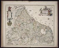
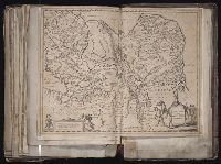
[Atlas factice of 96 maps by Blaeu, Visscher, Jansson, Hondius and others]
Image Count:
1
Description:
Imperfect: torn and mutilated along fold and edges, partially repaired, with some loss of text. Sheet measures 45.3 x 54.3 cm. No. 64 of 92 maps bound together. and Numbered 69 on verso.
Publisher:
[Nicolaes Visscher]
Subject (Geographic):
Brandenburg (Germany : Landkreis) --Maps --Early works to 1800, Mecklenburg-Vorpommern (Germany) --Maps --Early works to 1800, and Pomerania (Poland and Germany) --Maps --Early works to 1800
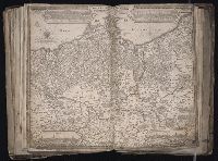
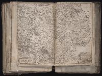
[Atlas factice of 96 maps by Blaeu, Visscher, Jansson, Hondius and others]
Image Count:
1
Description:
Imperfect: torn along fold, with some loss of text; mutilated along edges, with some loss of ill. Sheet measures 46.0 x 54 cm. Reinforced along edges with printed waste. No. 92 of 92 maps bound together.
Goos, Abraham, engraver Visscher, Claes Jansz., 1586 or 7-1652
Published / Created:
ao. 1650
Call Number:
1983 Folio 19
Collection Title:
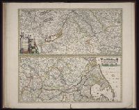
[Atlas factice of 96 maps by Blaeu, Visscher, Jansson, Hondius and others]
Image Count:
1
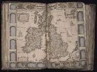
Description:
Imperfect: mutilated along fold, with some loss of text; portions of decorative border cut or torn and repaired; tears repaired. Sheet measures 46 x 55.7 cm. No. 23 of 92 maps bound together.
[Atlas factice of 96 maps by Blaeu, Visscher, Jansson, Hondius and others]
Image Count:
1
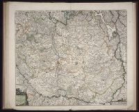
Description:
Imperfect: mutilated along fold and bottom portion of map, with some loss of text; repaired and borders replicated in ms. Sheet measures 44.1 x 55.3 cm. No. 8 of 92 maps bound together.
[Atlas factice of 96 maps by Blaeu, Visscher, Jansson, Hondius and others]
Image Count:
1
Description:
Imperfect: torn and mutilated along fold, with some loss of text; edges reinforced with ms. waste. Sheet measures 41.5 x 51.3 cm. No. 74 of 92 maps bound together. and Numbered 80 [75, cancelled] on verso.