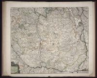
Bar scales in Mill. Germanica Comm 15 in uno gradu and Mill. Gallica et Livonica quae horae itineris., Ferro meridian., No. 38 of 69 maps bound together in composite atlas., Relief shown pictorially., and Scale [ca. 1:910 000].
Subject (Geographic):
Estonia --Maps --Early works to 1800 and Latvia --Maps --Early works to 1800
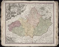
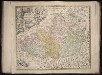
[Atlas factice of 50 maps, primarily by Johann Baptist Homann and/or issued by the Homann Erben
Image Count:
1
Alternative Title:
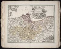
Cours de Danube
Publisher:
Cura Homannianorum Heredum, C.P.S.C.M
Subject (Geographic):
Balkan Peninsula --Maps --Early works to 1800, Danube River Valley --Maps --Early works to 1800, Europe, Central --Maps --Early works to 1800, and Europe, Southern --Maps --Early works to 1800