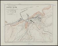
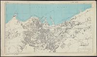
Great Britain. War Office. General Staff. Geographical Section
Published / Created:
1942,
Call Number:
40 B239 1943
Container / Volume:
BRBL_00204
Image Count:
1
Resource Type:
Maps, Atlases & Globes
Alternative Title:
Geographical Section, General Staff ; no. 4380 and GSGS (Series) ; 4380.
Description:
"Air photographs have been used in the production of this plan.", Important streets and buildings are named., In upper left margin: Italy., and Military grid.
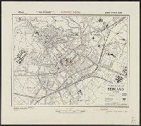
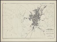
Great Britain. War Office. General Staff. Geographical Section
Published / Created:
1943
Call Number:
40 B45 1943
Container / Volume:
BRBL_00205
Image Count:
1
Resource Type:
Maps, Atlases & Globes
Alternative Title:
Geographical Section, General Staff ; no. 4380, GSGS (Series) ; 4380., and Italy
Description:
"12/42/G.S.G.S.", "2-43.", "Authorities ... Carta d'Italia 1:25,000, 1931. Various guide book plans.", "Published by War Office 1942.", Important streets and buildings are named., and Military grid.
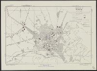
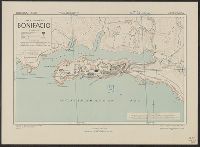
Great Britain. War Office. General Staff. Geographical Section
Published / Created:
1943
Call Number:
3897 B642 1943
Container / Volume:
BRBL_00184
Image Count:
1
Resource Type:
Maps, Atlases & Globes
Alternative Title:
Corsica 1:5,000, Geographical Section. General Staff ; no. 4381, and GSGS (Series) ; 4381.
Description:
"2/43/G.S.G.S.", "6-43.", "Air photographs have been used in the production of this plan.", Important streets are named., Military grid, "Southern Italy grid.", and Relief shown by form lines and rock drawings.
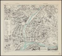
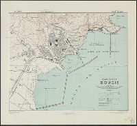
Great Britain. War Office. General Staff. Geographical Section
Published / Created:
1943
Call Number:
408 C27 1943
Container / Volume:
BRBL_00239
Image Count:
1
Resource Type:
Maps, Atlases & Globes
Alternative Title:
Geographical Section, General Staff ; no. 4379, GSGS (Series) ; 4379., Sicily 1:5,000, and Sicily 1:5,000, town plan of Castelvetrano
Description:
"6-43.", "Air photographs have been used in the production of this plan.", "Authorities: Italy 1:100,000, G.S.G.S., no.4164, 1942; Italy 1:50,000, G.S.G.S., no.4229, 1941; intelligence information, 1943, "Published by War Office, 1943.", and Military grid (blue).
Great Britain. War Office. General Staff. Geographical Section
Published / Created:
1943. and Army Map Service, U. S. Army,
Call Number:
675 C33 1943
Container / Volume:
BRBL_00349
Image Count:
1
Resource Type:
Maps, Atlases & Globes
Alternative Title:
Geographical Section, General Staff ; no. 4241 and GSGS (Series) ; 4241.
Description:
"Contours at 10 metres interval.", "Published by War office, 1942. Revised by A. M. S. December, 1942.", Important streets and buildings are named., In upper margin: Morocco ..., and Military grid.