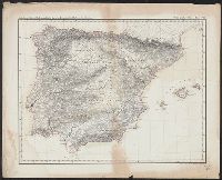
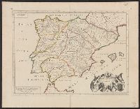
Abteilung II. Oro- und hydrographische Karte der Pyrenäischen Halbinsel, nach Berghaus, Oro- und hydrographische Karte der Pyrenäischen Halbinsel, nach Berghaus, and Platt's grosser Atlas der Erde.
Description:
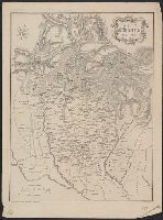
Relief shown by hachures. and Stamp: Karpinski-von Wieser Map Collection.
Appeared in Jansson's Accuratissima orbis antiqui delineatio., Covers also a portion of Libya., Manuscript notes on map. Manuscript number in upper left corner: 52., Oriented with north to the right., and Relief shown pictorially.
Subject (Geographic):
Egypt--Maps--Early works to 1800
Subject (Name):
Jansson, Jan, 1588-1664. Accuratissima orbis antiqui delineatio
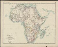
Boundaries hand colored., From Johnston's Royal atlas of modern geography., Prime meridian: Greenwich., Relief shown by hachures., Upper left: Keith Johnston's general atlas., and Upper right: 39.
Subject (Geographic):
Africa--Maps
Subject (Name):
Johnston, Alexander Keith, 1804-1871. Royal atlas of modern geography and W. & A.K. Johnston Limited
Boundaries hand colored., From Johnston's Royal atlas of modern geography?, Prime meridian: Greenwich., Relief shown by hachures., and Upper right: 36.
Subject (Geographic):
Africa--Maps
Subject (Name):
Johnston, Alexander Keith, 1804-1871. Royal atlas of modern geography and W. & A.K. Johnston Limited, publisher
"Dedié au Roy par son très humble, très obeissant, très fidele suget et serviteur. Hubert Iaillot, géographe de Sa Majeste.", Appears in Jaillot's Atlas françois., Boundaries hand colored., Includes eight bar scales., Relief shown pictorially., and Sheet mea
Subject (Geographic):
North America--Maps--Early works to 1800
Subject (Name):
Albany Institute Stamp, Cordier, Louis, -1711, engraver, and Jaillot, Alexis Hubert, 1632?-1712. Atlas françois
"Cum priuilegio Regio.", Bar scale given in "scala milliarum.", Hand colored borders., Ms. no. on recto and verso: 155. Stamp on vers, and Relief shown pictorially.
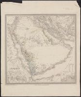
Appears in Allgemeiner Hand-Atlas der Erde und des Himmels nach den best, Prime meridian: Ferro., Relief shown by hachures and spot heights., and Shows physical and ethnographic features, regional and political boundaries, caravan trails, and tribal affiliation.
Subject (Geographic):
Aden (Yemen)--Maps, Arabian Peninsula--Maps, Mecca (Saudi Arabia)--Maps, and Sinai (Egypt)--Maps