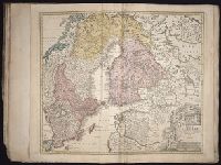
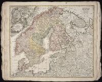
Homann Erben (Firm) Homann, Johann Baptist, 1663-1724 Meyer, Tobias
Published / Created:
1749
Call Number:
1973 Folio 30
Collection Title:
[Atlas factice of 32 maps and 1 distance table, produced by the Homann Erben firm]
Image Count:
1
Alternative Title:
General map of Great Britain and Ireland with part of Holland Flandres France &c. agreable to modern history by the heirs of late Mr. Homann at Nueremburg 1749, priviledged by Emperours Majesty
Publisher:
Edentibg. Homan[n]ianis heredibus
Subject (Geographic):
Great Britain --Maps --Early works to 1800 and Ireland --Maps --Early works to 1800
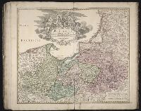
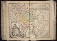
[Atlas factice of 50 maps, primarily by Johann Baptist Homann and/or issued by the Homann Erben
Image Count:
1
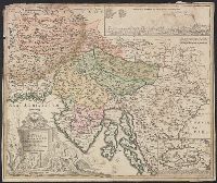
Publisher:
[Johann Baptist Homann]
Subject (Geographic):
Carniola (Slovenia) --Maps --Early works to 1800, Croatia --Maps --Early works to 1800, and Ljubljana (Slovenia) --Maps, Pictorial --Early works to 1800
Bar scales given in "milliaria Germanica" and "milliaria Italica.", Insets: map of Cirkhnitzer See and bird's-eye view "Prospekt der St. Laybach ...", Relief shown pictorially., Sheet measures 49.6 x 58.8 cm., and Title in Latin; insets in German.
Publisher:
[Johann Baptist Homann,
Subject (Geographic):
Carniola (Slovenia)--Maps--Early works to 1800 and Croatia--Maps--Early works to 1800