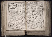
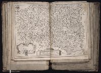
[Atlas factice of 96 maps by Blaeu, Visscher, Jansson, Hondius and others]
Image Count:
1
Description:
Imperfect: wormhole in center crease, with some loss of text. Reinforced along lower edges with manuscript waste. Sheet measures 38.8 x 51.6 cm. No. 34 of 92 maps bound together.
Publisher:
Christophe Tassin
Subject (Geographic):
Bresse (France : Region) --Maps --Early works to 1800
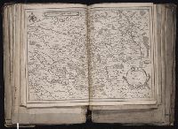
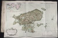
[Atlas factice of 96 maps by Blaeu, Visscher, Jansson, Hondius and others]
Image Count:
1
Description:
Imperfect: wormhole in center crease, with no loss of text. Reinforced along lower edges with manuscript waste. Sheet measures 38.9 x 51.5 cm. No. 33 of 92 maps bound together.
Bellin, Jacques Nicolas, 1703-1772, creator France, Depot des cartes et plans de la marine
Published / Created:
1763
Call Number:
2003 Folio 85
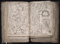
Image Count:
1
Alternative Title:
Carte d'une partie de l'isle de Terre Neuve et les isles de St. Pierre et Miquelon [scale ca. 1:666,666]
Description:
BEIN 2003 Folio 85: No. 12 of 45 maps bound together with binder's spine title: Atlas of America; ms. table of contents. Bookplate: Robinson. Bookplate of Paul Mellon., Hand colored., par le S. Bellin ingenieur de la marine et du Depost M.DCC.LXIII., and Scale [ca. 1:15,400].
Publisher:
DeÌpost des cartes et plans de la marine
Subject (Geographic):
Newfoundland and Labrador -- Maps -- Early works to 1800 and Saint Pierre and Miquelon -- Maps -- Early works to 1800
Frezier, Amedee Francois, 1682-1773 Robert de Vaugondy, Gilles, 1688-1766, creator
Published / Created:
avec privilege 1749
Call Number:
2003 Folio 85
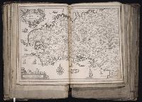
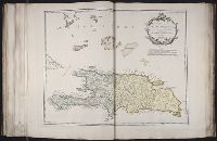
Image Count:
1
Description:
BEIN 2003 Folio 85: No. 32 of 45 maps bound together with binder's spine title: Atlas of America; ms. table of contents. Bookplate: Robinson. Bookplate of Paul Mellon., Hand colored., par le Sr. Robert geographe ordin. du roi., and Scale [ca. 1:1,370,000].
Publisher:
Robert de Vaugondy
Subject (Geographic):
Dominican Republic -- Maps -- Early works to 1800 and Haiti -- Maps -- Early works to 1800