Skip to search
Skip to main content
Skip to first result
Search
You Searched For
Format
cartographic
Language
French
New Search
Search Results
Published / Created:
19--?]
Call Number:
11hcf 1919-8
Container / Volume:
BRBL_00010M
Image Count:
2
Resource Type:
Maps, Atlases & Globes
Alternative Title:
Distribution of forces in Russia
Description:
Map page from Atlas VIDAL-LABLACHE. Shows "Allied forces in black. Bolshevist forces in blue" with corresponding ms. notes on map. Ms. notes detail nationalities and commanders of individual forces and their placement. Map text in French, ms. notes in Eng
Publisher:
A. Colin,
Subject (Geographic):
Russia--Maps
Found in:
Beinecke Rare Book and Manuscript Library > [Russie Carte Politique.]
Published / Created:
[1745?]
Call Number:
38 SA22 1745
Container / Volume:
BRBL_00165
Image Count:
1
Resource Type:
Maps, Atlases & Globes
Subject (Geographic):
Saint-Cloud (France)--Maps--Early works to 1800
Found in:
Beinecke Rare Book and Manuscript Library > [Section West of St. Cloud.]
Published / Created:
1919.]
Call Number:
11hcf 1919A-6
Container / Volume:
BRBL_00010N
Image Count:
1
Resource Type:
Maps, Atlases & Globes
Description:
"EMGA, Cartog., no. 15."
Publisher:
EMGA,
Subject (Geographic):
France--Maps
Subject (Topic):
World War, 1914-1918--France--Maps
Found in:
Beinecke Rare Book and Manuscript Library > [Sketch map used by the French in discussions of Rhineland and French security.]
Published / Created:
[1780?]
Call Number:
38 ST81 1780
Container / Volume:
BRBL_00165
Image Count:
1
Resource Type:
Maps, Atlases & Globes
Subject (Geographic):
Strasbourg (France)--Maps--Early works to 1800
Found in:
Beinecke Rare Book and Manuscript Library > [Strasbourg and Environs].
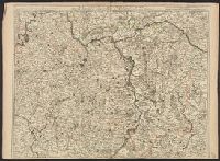
Published / Created:
[1779]
Call Number:
787hca Sa91 1779P
Container / Volume:
BRBL_00730
Image Count:
1
Resource Type:
Maps, Atlases & Globes
Description:
"Nota" with details of changes in positions during the siege., Inset: "Explication des lettres du plan.", Map shows fortifications around the city, the positions of the French, American and British batteries, roads to surrounding towns, and the Savannah and Augustine rivers., Pen and ink ms. signed "O'Connor"., and Title supplied by cataloger.
Subject (Geographic):
Savannah (Ga.)--History--Siege, 1779--Maps, Manuscript--Early works to 1800 and Savannah (Ga.)--Maps, Manuscript--Early works to 1800
Found in:
Beinecke Rare Book and Manuscript Library > [The siege of Savannah, 1779].
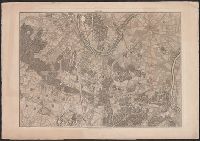
Published / Created:
1916?]
Call Number:
38am V58 1916
Container / Volume:
BRBL_00168
Image Count:
1
Resource Type:
Maps, Atlases & Globes
Description:
In bottom left corner: "G.M".
Publisher:
s.n.,
Subject (Geographic):
Lorraine (France)--Maps and Verdun (France)--Maps
Found in:
Beinecke Rare Book and Manuscript Library > [Verdun and Environs].
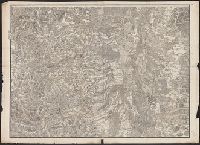
Published / Created:
[1805?]
Call Number:
3841 1805
Container / Volume:
BRBL_00179
Image Count:
1
Resource Type:
Maps, Atlases & Globes
Subject (Geographic):
Yonne (France)--Maps
Found in:
Beinecke Rare Book and Manuscript Library > [Yonne, Nievre, Cote D'or] Gravé P.F. Tardieu. Ecrit par Dubuisson.
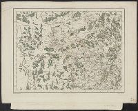
Published / Created:
[1700?]
Call Number:
36 R34 1700
Container / Volume:
BRBL_00126
Image Count:
1
Resource Type:
Maps, Atlases & Globes
Subject (Geographic):
Rheinberg (Germany)--Maps--Early works to 1800
Found in:
Beinecke Rare Book and Manuscript Library > m Palatinat et Electorat du Rhin, Archevesché Electorat de Mayence ... Basse Alsace cours du Rhin ... Par Crepy.
Branch:v1.61.6 ,Deployed:2024-06-12T09:55:31-04:00