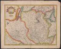
[Atlas factice of 32 maps and 1 distance table, produced by the Homann Erben firm]
Image Count:
2
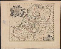
Alternative Title:
Belgium Catholicum seu decem provinciae Germaniae inferioris and Carte des Pais Bas catholiques ou des X provinces de l’Allegmagne inferieure, etc. dessinee au juste selon les exactes observations astronomiques et operations geometriques des Messur. Cassini, Snellius, Muschenbrok, etc. dressee par Sr. Tobias Maier, mathematicien; aux depens des Heritiers de Homann
Subject (Geographic):
Belgium --Maps --Early works to 1800 and Luxembourg --Maps --Early works to 1800
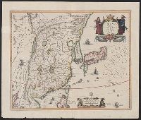
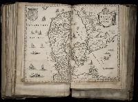
Coordinates approximated., From Ortelius's Theatro de la Tierra Universal (1588)., North oritented towards the right., Relief shown pictorially., Spanish text and pagination "93" on verso., and The first Western map of China based upon the reports of the Portugues
Subject (Geographic):
China--Maps--Early works to 1800
Subject (Name):
Barbuda, Luis Coello de, active 1607-1626, Ortelius, Abraham, 1527-1598. Theatrum orbis terrarum. Spanish, and Plantin, Christophe, approximately 1520-1589, printer
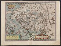
[Atlas factice of 96 maps by Blaeu, Visscher, Jansson, Hondius and others]
Image Count:
2
Description:
Imperfect: lower left corner [imprint] cut-out and replaced with ms. ill.; edges reinforced with ms waste. Sheet measures 38.5 x 48.9 cm. No. 67 of 92 maps bound together. and Numbered 72 on verso.