
Search


Limit your search
- Public17
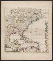
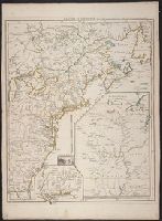
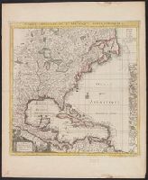
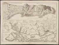
- Maps✖[remove]17
- French✖[remove]17
- Le Rouge, Georges-Louis✖[remove]17
- Le Rouge, Georges-Louis. Atlas général3
- Le Rouge, Georges-Louis. Atlas nouveau portatif à l'usage des militaires3
- Charlevoix, Pierre-François-Xavier de, 1682-17612
- La Condamine, Charles-Marie de, 1701-17742
- Popple, Henry, -1743. Map of the British Empire in America, with the French and Spanish settlements adjacent thereto2
- Crépy (Firm)1
- Hase, Johann Matthias, 1684-17421
Current results range from 1741 to 1779