Skip to search
Skip to main content
Skip to first result
Search
You Searched For
Date
1700 - 1799
Resource Type
Maps, Atlases & Globes
Date Created
1700 to 1799
New Search
Search Results
Published / Created:
[1770?]
Call Number:
771ad C38 1770
Container / Volume:
BRBL_00714
Image Count:
1
Resource Type:
Maps, Atlases & Globes
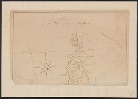
Description:
Color: pen and ink drawing with yellow detail., Lower half lacking., and Ms. cadastral map showing lands along Lake Champlain belonging to English soldiers.
Subject (Geographic):
New York--Maps, Manuscript--Early works to 1800
Found in:
Beinecke Rare Book and Manuscript Library > A Map of the County of Charlotte.
Published / Created:
1768
Call Number:
771 Al13 1768
Container / Volume:
BRBL_00713
Image Count:
2
Resource Type:
Maps, Atlases & Globes
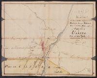
Description:
Color: pen and ink, some yellow, blue and pink shading. and Notes: Clipping from Revolutionary war period, manuscript New York maps.
Subject (Geographic):
Albany (N.Y.)--Maps, Manuscript--Early works to 1800
Found in:
Beinecke Rare Book and Manuscript Library > A Map of the Lands Adjoining the Partition Line between Countys of Albany & Ulster Done of New York, 1768, Will Cockburn.
Published / Created:
1765
Call Number:
771 Al13 1765
Container / Volume:
BRBL_00713
Image Count:
2
Resource Type:
Maps, Atlases & Globes
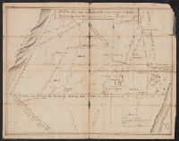
Description:
Clipping from revolutionary war period manuscript New York maps. and Color: pen and ink drawing.
Subject (Geographic):
Albany (N.Y.)--Maps, Manuscript--Early works to 1800
Found in:
Beinecke Rare Book and Manuscript Library > A Map of the Lands on the Southside of the County of Albany between the Blue Mountains and the Sawkill. Surred in the month of Oct. 1765, by Will Cockburn.
Published / Created:
[1785?]
Call Number:
755 1785F
Container / Volume:
BRBL_00435
Image Count:
1
Resource Type:
Maps, Atlases & Globes
Description:
Mounted.
Publisher:
Engraved and Printed by John Fitch,
Subject (Geographic):
East (U.S.)--Maps--Early works to 1800
Found in:
Beinecke Rare Book and Manuscript Library > A Map of the North West parts of the United States of America ... [by] John Fitch ...
Published / Created:
1774
Call Number:
771 1774
Container / Volume:
BRBL_00713
Image Count:
1
Resource Type:
Maps, Atlases & Globes
Description:
Color: water color.
Subject (Geographic):
New York--Maps--Early works to 1800
Found in:
Beinecke Rare Book and Manuscript Library > A Map of the Province of New York as divided into Counties together with the adjacent provinces. Compiled from the latest Maps and Actual Surveys. Will:Cockburn.
Published / Created:
[1790?]
Call Number:
32 1790
Container / Volume:
BRBL_00044
Image Count:
1
Resource Type:
Maps, Atlases & Globes
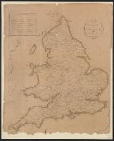
Publisher:
P. Wogan,
Subject (Geographic):
England--Maps--Early works to 1800
Found in:
Beinecke Rare Book and Manuscript Library > A Map of the Roads of England and Wales.
Published / Created:
[1795]
Call Number:
801 1795
Container / Volume:
BRBL_00541
Image Count:
1
Resource Type:
Maps, Atlases & Globes
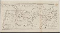
Description:
Engraved for Carey's American Edition of Guthrie's Geography Improved. and J.T. Scott Sculp.
Subject (Geographic):
Tennessee--Maps--Early works to 1800
Found in:
Beinecke Rare Book and Manuscript Library > A Map of the Tennassee State formerly Part of North Carolina taken Chiefly from Survey by Genl. Smith & others.
Published / Created:
1795
Call Number:
11 1795
Container / Volume:
BRBL_00006
Image Count:
1
Resource Type:
Maps, Atlases & Globes
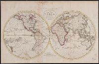
Description:
From Carey's American Edition of Guthrie's Geography Improved.
Publisher:
Mathew Carey,
Subject (Geographic):
World--Maps--Early works to 1800
Found in:
Beinecke Rare Book and Manuscript Library > A Map of the World from the best Authorities.
Published / Created:
1757
Call Number:
36hc P88 1756
Container / Volume:
BRBL_00134
Image Count:
1
Resource Type:
Maps, Atlases & Globes
Alternative Title:
Plan of the city of Prague ...
Description:
Includes "Extract from several Authentic Letters from Berlin, giving an Account of the Battle fought between the Prussians and Austrians near Prague, May 6, 1757."
Publisher:
T. Jefferys,
Subject (Geographic):
Germany--Maps--Early works to 1800
Found in:
Beinecke Rare Book and Manuscript Library > A Map of the country round Prague ... : A Plan of the city of Prague ...
Published / Created:
[1774]
Call Number:
76 1774
Container / Volume:
BRBL_00729
Image Count:
1
Resource Type:
Maps, Atlases & Globes
Abstract:
Subject: Map of New England and Long Island with the states divided into cities and towns. Cartouche at lower right shows Liberty leading a Native American and pilgrims to Plymouth Rock.
Description:
"Observations on which this map is grounded.", Copy 2: Imperfect: southern sheet wanting., Includes compilation data and insets of "A plan of the town of Boston" and "A plan of the town of Boston Harbor from an accurate sur, and Prime meridian: London and Ferro.
Publisher:
November 29th 1774 Published according to Act by Thos. Jefferys geographer to His Royal Highness the Prince of Wales near Charing Cross,
Subject (Geographic):
Boston Harbor (Mass.)--Maps and New England--Maps
Subject (Name):
Jefferys, Thomas, -1771, publisher
Found in:
Beinecke Rare Book and Manuscript Library > A Map of the most inhabited part of New England [cartographic material] : containing the provinces of Massachusets Bay and New Hampshire with the colonies of Conecticut and Rhode Island divided into counties and townships : The whole composed from actual
Branch:v1.61.6 ,Deployed:2024-06-12T09:55:19-04:00