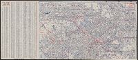
"428-S 8-CC" and "7-CC 799-S.", Copyright: H.M. Gousha Company., Includes index and inset of "Downtown Los Angeles interchange.", Index and map of "Los Angeles and vicinity" (scale [ca. 1:285,120]) on verso., and Relief shown by hachures.
Publisher:
The Company,
Subject (Geographic):
Los Angeles (Calif.)--Maps and Los Angeles Metropolitan Area (Calif.)--Maps
Subject (Name):
Richfield Oil Corporation
Subject (Topic):
Roads--California--Los Angeles Metropolitan Area--Maps and Streets--California--Los Angeles--Maps
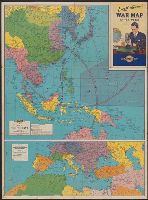
Map of Southern Europe, the Mediterranean area and the Near East., Map of the Far East., War map of Atlantic Ocean area, Eurasia and Africa., War map of Pacific Ocean and the Far East., and War map of the world
Description:
Includes notes, inset of "World time zones," and col. ill., Map of the Far East. Scale [ca. 1:13,000,000] -- Map of Southern Europe, the Mediterranean area and the Near East. Scale [ca. 1:14,500,000] -- Verso: War map of Atlantic Ocean, and On panel title: "B."
Publisher:
Rand McNally & Co.,
Subject (Name):
Thomas, Lowell, 1892-1981
Subject (Topic):
Time--Systems and standards--Maps and World War, 1939-1945--Maps
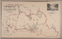
"Rand, McNally & Co.'s New Business Atlas Map of Manitoba." and Index to railways overprinted in red in upper right; index to cities by population in left margin.
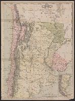
Argentine Republic, Paraguay, Uruguay, & Chile and Rand McNally & Co's indexed Atlas of the World :
Description:
At head of title: Rand McNally & Co's indexed Atlas of the World., Includes 3 inset maps: St. Felix and St. Ambrose islands, Juan Fernandez I., and "Southern portion of Chile and Argentine Republic.", Relief shown by hachures., and Shows railroads completed and railroads projected.