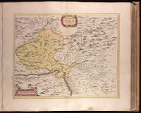
"Cum Privileg. Ord. Gen. Holl. et Westfri.", Appeared in Peter Schenk's Atlas contractus [ca. 1700]., Backed with paper. Ms. no. "32" in lower-right corner. Sheet measures 62.3 x 53.6 cm. No. 31 of 87 maps bound together., Bar scales given in "milliaria Germanica" and "milliaria Gallica"., Prime meridian: Ferro., Relief shown pictorially., and Watermark.
Publisher:
Peter Schenk,
Subject (Geographic):
Alsace (France)--Maps--Early works to 1800., Baden-Württemberg (Germany)--Maps--Early works to 1800., and Saarland (Germany)--Maps--Early works to 1800.
Subject (Name):
Schenk, Peter, 1660-1718 or 1719. Atlas contractus.
"Cum priv. ord. gen. Holl. et Westfr.", Appeared in Peter Schenk's Atlas contractus [ca. 1700]., Backed with paper. Ms. no. "37" in lower-right corner. Sheet measures 63.1 x 53.7 cm. No. 36 of 87 maps bound together., Bar scales given in "milliaria Germanica" and "milliaria Gallica"., Prime meridian: Ferro., Relief shown pictorially., and Watermark.
Publisher:
Peter Schenk,
Subject (Geographic):
Lower Saxony (Germany)--Maps--Early works to 1800. and North Rhine-Westphalia (Germany)--Maps--Early works to 1800.
Subject (Name):
Schenk, Peter, 1660-1718 or 1719. Atlas contractus.
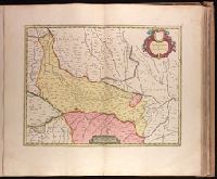
Backed with paper. Ms. no. "68" in upper right corner. Sheet measures 53.7 x 62.3 cm. No. 63 of 87 maps bound together., Bar scale given as "sette miglia Italiane.", Relief shown pictorially., and Watermark.
Backed with paper. Ms. no. "71" in upper right corner. Sheet measures 53.7 x 62.1 cm. No. 66 of 87 maps bound together., Bar scale given in "miglia sette Italiane.", and Relief shown pictorially.
Publisher:
Joan Blaeu,
Subject (Geographic):
Vicenza (Italy : Province)--Maps--Early works to 1800.
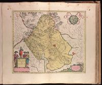
Backed with paper. Ms. no. in upper right corner: 17. Sheet measures 53.7 x 62.7 cm. No. 17 of 87 maps bound together., Includes one bar scale., Relief shown pictorially., Watermark., and With north oriented towards the bottom.
Publisher:
Joan Blaeu,
Subject (Geographic):
Basel-Stadt (Switzerland)--Maps--Early works to 1800. and Haut-Rhin (France)--Maps--Early works to 1800.
Beauplan, Guillaume Le Vasseur, sieur de, approximately 1600- cartographer.
Published / Created:
166-?]
Call Number:
1973 Folio 18
Image Count:
1
Resource Type:
Maps, Atlases & Globes
Alternative Title:
Podolia Palatinatus vulgo dicitur
Description:
Appeared in Joan Blaeu's Atlas maior., Bar scales given in "milliaria Polonica," "m. Ocrenica," and "m. Germanica"., Prime meridian: Ferro., Relief shown pictorially., and Watermark. Backed with paper. Ms. no. "87" in upper right corner. Sheet measures 53.7 x 63.1 cm. No. 80 of 87 maps bound together.
Publisher:
Joan Blaeu?,
Subject (Geographic):
Khmelʹnyt︠s︡ʹka oblastʹ (Ukraine)--Maps--Early works to 1800., Podillia (Ukraine)--Maps--Early works to 1800., Ternopilʹsʹka oblastʹ (Ukraine)--Maps--Early works to 1800., and Vinnyt︠s︡ʹka oblastʹ (Ukraine)--Maps--Early works to 1800.