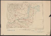
"Fonds dressé par le Service Géographique de L'Armée Britannique.", In lower right: S.G.A. le 9/9/19 ; SGA 196 197., and Legend in French, English, and Italian.
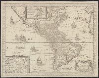
Has watermark., Includes text in margins, insets of Greenland region and "Terre Antarctique incognue," and ill., Library's copy stamped on backing: Yale University Library, Karpinski-Von Wieser Map Collection., and Relief shown pictorially.
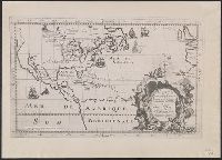
"Avertissement: La réduction sur plus grande échelle est faite d'après l'Amérique en 4 f. de Vischer que l'on pourroit datter de 1612 étant assés conforme a celle de Mercator avec quelques corrections ... La réduction sur plus petite échelle, en forme de supplement, est tirée de la grande Mappemonde plate de Pierre Plantius publiée par Piscator (le même que Vischer) et dédiée à Louis 13 en 1641."
Publisher:
s.n.,
Subject (Geographic):
California--Maps--Early works to 1800 and North America--Maps--Early works to 1800
"Avertissement: La réduction sur plus grande échelle est faite d'après l'Amérique en 4 f. de Vischer que l'on pourroit datter de 1612 étant assés conforme a celle de Mercator avec quelques corrections ... La réduction sur plus petite échelle, en forme de supplement, est tirée de la grande Mappemonde plate de Pierre Plantius publiée par Piscator (le même que Vischer) et dédiée à Louis 13 en 1641."
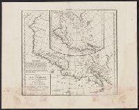
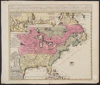
Photocopy of map from Hennepin's Description de la Louisiane. Paris, 1683. and Relief shown pictorially.
Publisher:
s.n.,
Subject (Geographic):
North America--Maps
Subject (Name):
Guérard, Nicholas and Hennepin, Louis, 17th cent. Description de la Louisiane, nouvellement decouverte au sud' oüest de la Nouvelle France, par ordre du roy
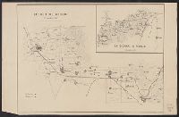
Includes inset of "Les costes de la Louisiane ....", Relief shown pictorially., and Yale's copy annotated in pencil with "circa 1760" on recto and "ca. 1720" on verso.
Publisher:
s.n.?,
Subject (Geographic):
New France--Maps--Early works to 1800 and North America--Maps--Early works to 1800
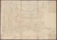
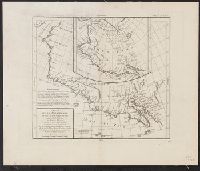
At head of title: Congrès géologique international Xe session, 1906., Imperfect: Two sheets showing eastern half of map wanting., and Includes 2 insets.
Publisher:
s.n.],
Subject (Name):
Bailey, Willis, 1858-1949 and Gannett, Henry, 1846-1914