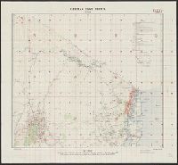
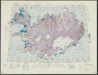
Great Britain. War Office. General Staff. Geographical Section
Published / Created:
1943
Call Number:
3969 Ib4 1943
Container / Volume:
BRBL_00194
Image Count:
1
Resource Type:
Maps, Atlases & Globes
Alternative Title:
Great Britain. War Office. General Staff. Geographical Section. G.S.G.S. ; 4376., GSGS (Series) ; 4376., Ibiza and Formentera, and Its [G.S.G.S.] ; 4376
Description:
"Contour interval 50 metres.", "N3835-E109 / 35x34.", Five classes of roads and paths, and wooded and intensely culivated areas are shown., In upper margin: Balearic islands 1:100,000 ..., and Insets: Index to adjoining sheets and incidence of grid letters--Relia
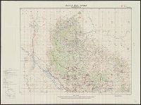
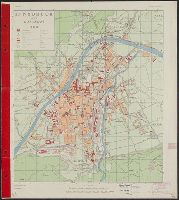
Great Britain. War Office. General Staff. Geographical Section
Published / Created:
1944
Call Number:
428 IN7 1944
Container / Volume:
BRBL_00248
Image Count:
2
Resource Type:
Maps, Atlases & Globes
Alternative Title:
G.S.G.S. ; 4483 and GSGS (Series) ; 4483.
Description:
"Copied from an Austrian plan. Drafting and reproduction by 654th Engineers, U.S. Army.", Alpha-numeric grid overlay., and Index to public buildings and streets on verso.
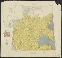
Great Britain. War Office. General Staff. Geographical Section
Published / Created:
1943
Call Number:
2121 1943
Container / Volume:
BRBL_00015
Image Count:
1
Resource Type:
Maps, Atlases & Globes
Alternative Title:
Geographical secton, General staff. ; no. 4313 and GSGS (Series) ; 4313.
Description:
"Copied from a Portuguese map dated 1934 with revision from intelligence reports.", Elevations shown by spot heights and contours at 25 meter intervals., Military grid., and Six classes of roads and tracks, and areas of cultivation and vegetation are indicated.