Danckerts, Cornelis, ca. 1603-1656 Lazius, Wolfgang, 1514-1565
Published / Created:
[ca. 1631]
Call Number:
1983 Folio 19
Collection Title:
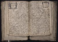
[Atlas factice of 96 maps by Blaeu, Visscher, Jansson, Hondius and others]
Image Count:
1
Description:
Imperfect: Trimmed along edges, with no loss of text. Reinforced along edges with printed waste. Sheet measures 39 x 51 cm. No. 81 of 92 maps bound together. and Numbered 87 in pencil, 85 in ink, on verso.
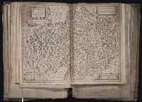
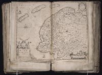
[Atlas factice of 96 maps by Blaeu, Visscher, Jansson, Hondius and others]
Image Count:
1
Description:
Imperfect: mutilated along fold, with some loss of text; bar scale cut out and replaced in ms. Reinforced along edges with printed waste. Sheet measures 39.1 x 50.4 cm. No. 78 of 92 maps bound together. and Numbered 84 [80, cancelled] on verso.
Publisher:
Excudebat Ioannes Ianssonius
Subject (Geographic):
Brandenburg (Germany : Landkreis) --Maps --Early works to 1800s, Mecklenburg-Vorpommern (Germany) --Maps --Early works to 1800, and Pomerania (Poland and Germany) --Maps --Early works to 1800
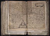
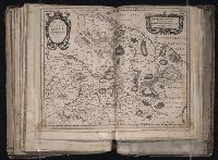
[Atlas factice of 96 maps by Blaeu, Visscher, Jansson, Hondius and others]
Image Count:
1
Description:
Imperfect: hole along folds, with some loss of text. Sheet measures 39.5 x 52 cm. Reinforced along edges with paper. No. 52 of 92 maps bound together. and Numbered 56 on verso.
Blaeu, Joan, 1596-1673. Theatrum orbis terrarum Blaeu, Willem Janszoon, 1571-1638
Published / Created:
[ca. 1630]
Call Number:
1983 Folio 19
Collection Title:
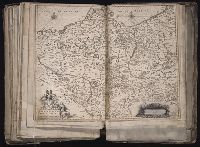
[Atlas factice of 96 maps by Blaeu, Visscher, Jansson, Hondius and others]
Image Count:
1
Description:
Imperfect: torn and mutilated along fold and edges, partially repaired, with some loss of text [partially duplicated in ms.]. Ms. no. on verso: 15. Sheet measures 39.8 x 50 cm. No. 12 of 92 maps bound together.
Publisher:
Guiljelmus Blaeuw excudit
Subject (Geographic):
Schleswig-Holstein (Germany) --Maps --Early works to 1800
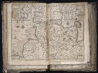
Bar scales in Milliaria Germanica Communia and Milliaria Gallica Communia., Ferro meridian., No. 37 of 69 maps bound together in composite atlas., Relief shown pictorially., and Scale [ca. 1:775 000].
Publisher:
[Frederik de Wit]
Subject (Geographic):
Prussia, east (Poland and Russia) --Maps --Early works to 1800