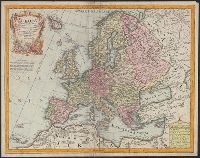
L'Isle, Guillaume de, 1675-1726 Lotter, Tobias Conrad, 1717-1777
Published / Created:
176-?]
Call Number:
30 1720A
Container / Volume:
BRBL_00029
Image Count:
1
Resource Type:
Maps, Atlases & Globes
Description:
Cartouche with Apollo and Athena at bottom., Includes eight bar scales., Prime meridian: Ferro., Relief shown pictorially., and Sheet measures 48.5 x 61.6 cm.
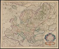
Blankaart, Nikolaas, 1624-1703 Jansson, Jan, 1588-1664. Atlas novus
Published / Created:
1652?]
Call Number:
30 1652
Container / Volume:
BRBL_00029
Image Count:
1
Resource Type:
Maps, Atlases & Globes
Description:
Appears in various ed. of Jansson's Atlas novus., Dedication: Nobilissimo Amplissimoq viro D. Cornelio de Graaf ..., Ms. no. "3" in upper left hand corner. Sheet measures 51 x 62 cm., and Relief shown pictorially.
Publisher:
Jan Jansson,
Subject (Geographic):
Europe--History--392-814--Maps--Early works to 1800
Appears in the author's Geographia universalis., Has watermark., Includes ill., Oriented with north to the bottom., Relief shown pictorially., Sheet measures 31 x 39 cm., and Text, ill., "29" on verso.
Mercator, Gerhard, 1512-1594 Mercator, Rumold, ca. 1545-1599
Published / Created:
[ca. 1595]
Call Number:
30 1595
Container / Volume:
BRBL_00029
Image Count:
2
Resource Type:
Maps, Atlases & Globes
Alternative Title:
Evropa
Description:
From: Atlas sive cosmogravicæ meditationes de fabrica mundi et fabricati figura / Gerardo Mercatore Rupelmundano ... autore. Atlantis pars altera: Geographia nova totius mundi (Duisburgi Clivorum : [s.n.] ; Dusseldorpii : excudebat Albertus Busius ..., su
From Münster's Cosmographia., Hand col. Sheet measures 34.5 x 40 cm. Lanman Collection., Oriented with north to the bottom., Recto: German, Latin. Verso: German., Relief shown pictorially., Text, ill., "iii" on verso., and Title on verso: Neüw Europa.
Publisher:
Heinrich Petri,
Subject (Geographic):
Europe--Maps--Early works to 1800
Subject (Name):
Münster, Sebastian, 1489-1552. Cosmographia and Petri, Heinrich, 1508-1579, publisher
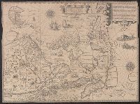
Exacta et accurata delineatis cum orarum maritimarum tum etjam locorum terrestrium and Waarachtige wtworpinghe ofte afbeeldinge van alle dje custen end landen
Description:
Appears in the author's Itinerario. 1596., Backed with paper., Has watermark., Includes ill., Latin and Dutch., Oriented with north to the left., and Relief shown pictorially.
Publisher:
C. Claesz,
Subject (Geographic):
Southeast Asia--Maps--Early works to 1800
Subject (Name):
Langren, Arnold Florent van, 1580-1644, Langren, Henricus F. ab (Henricus Florentius), ca. 1574-1648, engraver, Linschoten, Jan Huygen van, 1563-1611, and Linschoten, Jan Huygen van, 1563-1611. Itinerario, voyage ofte schipvae
Subject (Topic):
Nautical charts--South China Sea--Early works to 1800 and Nautical charts--Southeast Asia--Early works to 1800