Search
You Searched For
Search Results
- Creator:
- Bruff, Joseph Goldsborough, 1804-1889
- Published / Created:
- 1847
- Call Number:
- 88hc 1847A
- Container / Volume:
- BRBL_00649
- Image Count:
- 1
- Resource Type:
- Maps, Atlases & Globes
- Found in:
- Beinecke Rare Book and Manuscript Library > A correct map of the seat of war in Mexico : being a copy of Gen.l Arista's map taken at Resaca de la Palma with additions and corrections, embellished with diagrams of the battles of 8th & 9th May, and capture of Monterey, with a memorandum of forces eng
- Published / Created:
- 1804
- Call Number:
- 773 J487 1804
- Container / Volume:
- BRBL_00496
- Image Count:
- 1
- Resource Type:
- Maps, Atlases & Globes
- Found in:
- Beinecke Rare Book and Manuscript Library > A map of that part of the town of Jersey, commonly called Powles Hook / surveyed by Joseph F. Mangin.
- Creator:
- Smith, J. Calvin (John Calvin)
- Published / Created:
- 1870, c1856.
- Call Number:
- 75 1870S
- Container / Volume:
- BRBL_00404
- Image Count:
- 1
- Resource Type:
- Maps, Atlases & Globes
- Found in:
- Beinecke Rare Book and Manuscript Library > A new map for travelers through the United States of America showing the railroads, canals & stage roads with the distances / by J. Calvin Smith ; eng. on steel by Sherman & Smith, N.Y.
- Creator:
- Gibbes, Charles Drayton
- Published / Created:
- 1852
- Call Number:
- 844 1852A
- Container / Volume:
- BRBL_00601
- Image Count:
- 1
- Resource Type:
- Maps, Atlases & Globes
- Found in:
- Beinecke Rare Book and Manuscript Library > A new map of California / by Charles Drayton Gibbes, from his own and other recent surveys and explorations.
- Creator:
- Beadle, E. F
- Published / Created:
- [1856?]
- Call Number:
- 80gme 1856B
- Container / Volume:
- BRBL_00538
- Image Count:
- 1
- Resource Type:
- Maps, Atlases & Globes
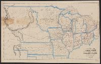
- Found in:
- Beinecke Rare Book and Manuscript Library > A new map of the Great West.
- Published / Created:
- 1823
- Call Number:
- 792cea 1823
- Container / Volume:
- BRBL_00519
- Image Count:
- 1
- Resource Type:
- Maps, Atlases & Globes
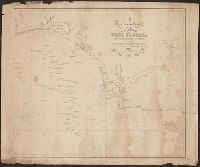
- Found in:
- Beinecke Rare Book and Manuscript Library > A particular Chart of the coasts of West Florida Louisiana Mississippi & Alabama ...
- Published / Created:
- 1836
- Call Number:
- 811 Al53 1836
- Container / Volume:
- BRBL_00553
- Image Count:
- 1
- Resource Type:
- Maps, Atlases & Globes
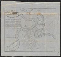
- Found in:
- Beinecke Rare Book and Manuscript Library > A plan of the city of Allegan, situated on the Kalamazoo River in the County of Allegan and Territory of Michigan.
- Creator:
- Shepard, Augustus D
- Published / Created:
- 1906
- Call Number:
- 771 Ad47 1906
- Container / Volume:
- BRBL_00480
- Image Count:
- 1
- Resource Type:
- Maps, Atlases & Globes
- Found in:
- Beinecke Rare Book and Manuscript Library > Adirondack League Club preserve / copied and developed by Augustus D. Shepard ... from the topographic sheets of the U.S. Geological Survey.
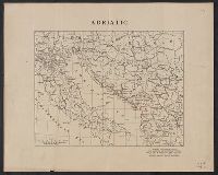
- Creator:
- American Geographical Society of New York
- Published / Created:
- [1918?]
- Call Number:
- 11hcf 1919-14
- Container / Volume:
- BRBL_00010J
- Image Count:
- 1
- Resource Type:
- Maps, Atlases & Globes
- Found in:
- Beinecke Rare Book and Manuscript Library > Adriatic [Sea region].
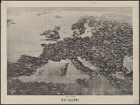
- Creator:
- Parker, Francis LeJau, 1873-1966
Spofford, Edward W
- Published / Created:
- c1914.
- Call Number:
- 30am 1914
- Container / Volume:
- BRBL_00037
- Image Count:
- 1
- Resource Type:
- Maps, Atlases & Globes
- Found in:
- Beinecke Rare Book and Manuscript Library > Aero view of Europe / [drawn by] Spofford, N.Y.