Its A.M.S. ; L991 and Series (Standard map series designation system) ; L991.
Description:
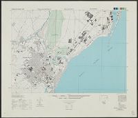
"Place names are transcribed according to the modified Hepburn (Romaji) system.", "Relief shown by form lines. Heights in meters.", At head of title: Formosa city plans ..., and Classified roads and trails, railroads, and areas of vegetation and cultivation are
"7-45.", "AMS 5207.", Includes references., Relief shown by hachures and spot heights., and Shows two classes of roads, and three classes of railroads.
Its A.M.S. ; L991 and Series (Standard map series designation system) ; L991.
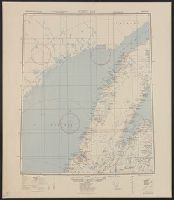
Description:
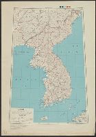
"Place names are transcribed according to the modified Hepburn (Romaji) system.", "Polyconic projection.", "Relief shown by form lines.", At head of title: Formosa city plans ..., Includes "Glossary.", Marginal maps: Index to boundaries.--Coverage diagram., and Mil
Its A.M.S. ; L991 and Series (Standard map series designation system) ; L991.
Description:
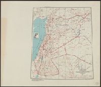
"Contour interval 5 meters.", "Place names are transcribed according to the modified Hepburn (Romaji) system.", "Polyconic projection.", At head of title: Formosa city plans ..., Includes "Glossary.", and Marginal maps and diagrams: Index to boundaries.--Coverage
Its A.M.S. ; L991 and Series (Standard map series designation system) ; L991.
Description:
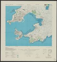
"Place names are transcribed according to the modified Hepburn (Romaji) system.", "Polyconic projection.", At head of title: Formosa city plans ..., Includes "Glossary.", Marginal maps and diagrams: Index to boundaries.--Coverage diagram., Military grid., and Three