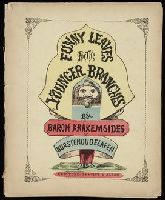
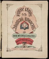
Twenty four new and accurate maps of the several parts of Europe ... : all (except the last) new
Image Count:
1
Alternative Title:
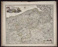
Flanders, or the Spanish Netherlands; with the bishopricks of Cambray and Liege
Description:
In pencil on verso: 14.
Subject (Geographic):
Flanders (Belgium) --Maps --Early works to 1800
Subject (Name):
Barker, B. (Benjamin), d. 1764, bookseller, Clements, Henry, d. 1719, bookseller, King, Charles, d. 1735, bookseller, Nicholson, John, d. ca. 1717, bookseller, Parker, Richard, fl. 1692-1725, bookseller, and Tooke, Benjamin, d. 1716, bookseller
Subject (Topic):
Atlases --Early works to 1800
Collection Created:
[London] : Sold by J. Nicholson at the King’s-Arms in Little Britain, Benj. Barker and Charles King ..., Benj. Tooke ..., Hen. Clements ..., R. Parker and Ralph Smith under the Royal-Exchange ..., [1715?]
Appears in Schenk's Atlas contractus [ca. 1700]., Bar scales in milliaria Germanica communia, milliaria Gallica sive horae itineris, milliaria Italia, and milliaria Anglica., Ferro meridian., Includes decorative vignette in upper left of map., No. 48 of 69 maps bound together in composite atlas., Relief shown pictorially., and Scale [ca. 1:330 000].
Publisher:
[Peter Schenck]
Subject (Geographic):
Belgium --Maps --Early works to 1800 and Flanders --Maps --Early works to 1800