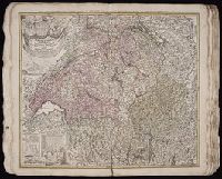
Hase, Johann Matthias, 1684-1742 Homann Erben (Firm) Lowitz, G. M. (George Moritz), 1722-1774
Published / Created:
1746
Call Number:
1973 Folio 30
Collection Title:
[Atlas factice of 32 maps and 1 distance table, produced by the Homann Erben firm]
Image Count:
1
Alternative Title:
Mappe-monde qui represente les deux hemispheres savoir celui de l’orient et celui de l’occident, tiree des quatre cartes generales de feu M. le profess. Hasius, dressee par Mr. G.M. Lowitz et publiee par les Heritiers de Homann and Planiglobii terrestris mappa vniversalis
Description:
Map colored to show distribution of religions.
Publisher:
[Homann Erben]
Subject (Topic):
Atlases, German --Early works to 1800, Religion --Maps --Early works to 1800, and World maps --Early works to 1800
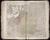
Homann Erben (Firm) Homann, Johann Baptist, 1663-1724
Published / Created:
1732
Call Number:
1975 Folio 31
Collection Title:
[Atlas factice of 42 maps, produced by the Homann Erben firm]
Image Count:
1
Alternative Title:
Tabula ad geographiam Huebnerianam recentissime recognita nec minus passim auota et religionum simul distinctione illustrata per Homannianos Heredes anno 1732
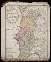
Homann Erben (Firm) Homann, Johann Baptist, 1663-1724 Meyer, Tobias
Published / Created:
1749
Call Number:
1973 Folio 30
Collection Title:
[Atlas factice of 32 maps and 1 distance table, produced by the Homann Erben firm]
Image Count:
1
Alternative Title:
General map of Great Britain and Ireland with part of Holland Flandres France &c. agreable to modern history by the heirs of late Mr. Homann at Nueremburg 1749, priviledged by Emperours Majesty
Publisher:
Edentibg. Homan[n]ianis heredibus
Subject (Geographic):
Great Britain --Maps --Early works to 1800 and Ireland --Maps --Early works to 1800