Search
You Searched For
Search Results
- Creator:
- National Geographic Society (U.S.). Cartographic Section
- Published / Created:
- 1950
- Call Number:
- 845 1950
- Container / Volume:
- BRBL_00620
- Image Count:
- 1
- Resource Type:
- Maps, Atlases & Globes
- Found in:
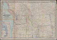
- Beinecke Rare Book and Manuscript Library > Northwestern United States and neighboring Canadian provinces / compiled and drawn in the Cartographic Section of the National Geographic Society for the National Geographic Magazine ; James M. Darley, chief cartographer.
- Creator:
- National Geographic Society (U.S.). Cartographic Section
- Published / Created:
- 1950
- Call Number:
- 80 1950
- Container / Volume:
- BRBL_00536
- Image Count:
- 1
- Resource Type:
- Maps, Atlases & Globes
- Found in:
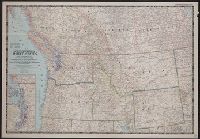
- Beinecke Rare Book and Manuscript Library > Northwestern United States and neighboring Canadian provinces / compiled and drawn in the Cartographic Section of the National Geographic Society for the National geographic magazine ; James M. Darley, chief cartographer.
- Creator:
- National Geographic Society (U.S.). Cartographic Section
- Published / Created:
- 1950
- Call Number:
- 80 1950
- Container / Volume:
- BRBL_00536
- Image Count:
- 1
- Resource Type:
- Maps, Atlases & Globes
- Found in:
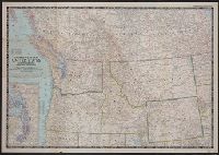
- Beinecke Rare Book and Manuscript Library > Northwestern United States and neighboring Canadian provinces / compiled and drawn in the Cartographic Section of the National Geographic Society for the National geographic magazine ; James M. Darley, chief cartographer.
- Creator:
- Great Britain. War Office. General Staff. Geographical Section
- Published / Created:
- 1942,
- Call Number:
- 344 T75 1943
- Container / Volume:
- BRBL_00094
- Image Count:
- 1
- Resource Type:
- Maps, Atlases & Globes
- Found in:
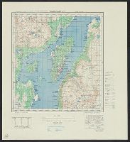
- Beinecke Rare Book and Manuscript Library > Norway 1:50 000. Tromsö omegn.
- Creator:
- U.S. Coast and Geodetic Survey
United States. Army Map Service
- Published / Created:
- 1944
- Call Number:
- 28 Ap11 1944
- Container / Volume:
- BRBL_00023E
- Image Count:
- 1
- Resource Type:
- Maps, Atlases & Globes
- Found in:
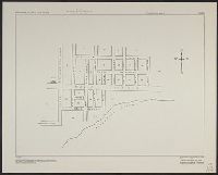
- Beinecke Rare Book and Manuscript Library > Philippine Islands city plans. Aparri.
- Creator:
- Manila Fire Insurance Association
United States. Army Map Service
- Published / Created:
- 1944
- Call Number:
- 28 C114 1944
- Container / Volume:
- BRBL_00023F
- Image Count:
- 1
- Resource Type:
- Maps, Atlases & Globes
- Found in:
- Beinecke Rare Book and Manuscript Library > Philippine Islands city plans. Cadiz.
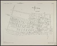
- Creator:
- Manila Fire Insurance Association
United States. Army Map Service
- Published / Created:
- 1944
- Call Number:
- 28 C117 1944
- Container / Volume:
- BRBL_00023F
- Image Count:
- 1
- Resource Type:
- Maps, Atlases & Globes
- Found in:
- Beinecke Rare Book and Manuscript Library > Philippine Islands city plans. Cagayan.
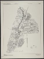
- Creator:
- United States. Army Map Service
United States. Army. Infantry Regiment, 17th
- Published / Created:
- 1944
- Call Number:
- 28 C147 1944
- Container / Volume:
- BRBL_00023F
- Image Count:
- 1
- Resource Type:
- Maps, Atlases & Globes
- Found in:
- Beinecke Rare Book and Manuscript Library > Philippine Islands city plans. Camiling.
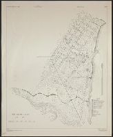
- Creator:
- United States. Army Map Service
United States. Army. Philippine Scouts
- Published / Created:
- 1944
- Call Number:
- 28 D19 1944
- Container / Volume:
- BRBL_00023F
- Image Count:
- 1
- Resource Type:
- Maps, Atlases & Globes
- Found in:
- Beinecke Rare Book and Manuscript Library > Philippine Islands city plans. Danao.
- Creator:
- United States. Army Map Service
- Published / Created:
- 1944
- Call Number:
- 28 D886 1944
- Container / Volume:
- BRBL_00023F
- Image Count:
- 1
- Resource Type:
- Maps, Atlases & Globes
- Found in:
- Beinecke Rare Book and Manuscript Library > Philippine Islands city plans. Dulag.