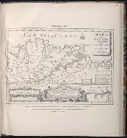
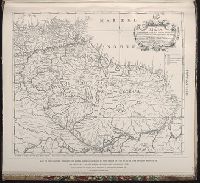
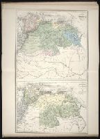
Maps of the Orinoco-Essequibo region, South America. Compiled for the Commission appointed by the
Image Count:
1
Resource Type:
Maps, Atlases & Globes
Subject (Geographic):
Caribbean Area--Maps--Early works to 1800, Orinoco River Valley (Venezuela and Colombia) --Maps, South America --Maps --Early works to 1800, and Venezuela --Maps
Contents (on title page) lists 27 maps numbered Ia-XX., Included are maps XXI-XXV, which form the supplement to the atlas; they are not listed in the Inhalt on t.p. but are also cited in the Nachricht., Relief shown by hachures., The subscriber to the 22d edition was allowed to order gratis, one map any from the publisher's Atlas der deutschen Bundes-Staaten which might make the entire work more useful to the teacher or pupil; this copy includes map VIII (Preussische Rhein-Provinz) and map IX (Preussische Provinz Westphalen) cf. Nachricht on t.p. verso., and Variations in numbering: no. XVIIb is used twice, for Ostindien mit den Inseln, and for Vorder-Asien und Nil-Land; XIXb is repeated, for Vereinigte Staaten von Nord-America und Canada, and for Vereinigte Staaten von Nord-America und Mexico.