Search
You Searched For
Search Results
- Creator:
- Great Britain. General Staff. Geographical Section
- Published / Created:
- 1918
- Call Number:
- 5683 1918
- Container / Volume:
- BRBL_00300
- Image Count:
- 1
- Resource Type:
- Maps, Atlases & Globes
- Found in:
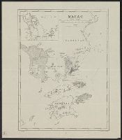
- Beinecke Rare Book and Manuscript Library > Macao.
- Published / Created:
- 1905
- Call Number:
- 565 T442 1905
- Container / Volume:
- BRBL_00299
- Image Count:
- 1
- Resource Type:
- Maps, Atlases & Globes
- Found in:
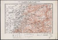
- Beinecke Rare Book and Manuscript Library > Map of country north of T'ieh-ling : to illustrate the campaign in Manchuria.
- Published / Created:
- 1905
- Call Number:
- 565 M89 1905
- Container / Volume:
- BRBL_00299
- Image Count:
- 1
- Resource Type:
- Maps, Atlases & Globes
- Found in:
- Beinecke Rare Book and Manuscript Library > Map of country round Mukden : to illustrate the campaign in Manchuria.
- Published / Created:
- 1905
- Call Number:
- 565 H212 1905
- Container / Volume:
- BRBL_00299
- Image Count:
- 1
- Resource Type:
- Maps, Atlases & Globes
- Found in:
- Beinecke Rare Book and Manuscript Library > Map of country south of Harbin : to illustrate the campaign in Manchuria.
- Published / Created:
- 1905
- Call Number:
- 565 N622 1905
- Container / Volume:
- BRBL_00299
- Image Count:
- 1
- Resource Type:
- Maps, Atlases & Globes
- Found in:
- Beinecke Rare Book and Manuscript Library > Map of country west of Ninguta : to illustrate the campaign in Manchuria.
- Creator:
- Great Britain. Inter-service Topographical Dept
- Published / Created:
- 1943
- Call Number:
- 38gma 1943A
- Container / Volume:
- BRBL_00170
- Image Count:
- 1
- Resource Type:
- Maps, Atlases & Globes
- Found in:
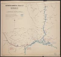
- Beinecke Rare Book and Manuscript Library > Mediterranean France [cartographic material] : waterways / compiled and drawn by I.S.T.D.
- Published / Created:
- 1944
- Call Number:
- 44gca 1944
- Container / Volume:
- BRBL_00257
- Image Count:
- 1
- Resource Type:
- Maps, Atlases & Globes
- Found in:
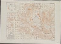
- Beinecke Rare Book and Manuscript Library > Middle Danube area [cartographic material] : soil map / compiled and drawn by I.S.T.D.
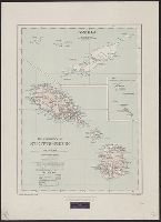
- Creator:
- Burdon, John Alder, Sir 1866-1933
- Published / Created:
- 1920
- Call Number:
- 861 1920
- Container / Volume:
- BRBL_00643
- Image Count:
- 1
- Resource Type:
- Maps, Atlases & Globes
- Found in:
- Beinecke Rare Book and Manuscript Library > The presidency of St. Kitts-Nevis [map] / ... compiled and brought up to date from existing surveys by J.A. Burdon.