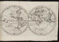
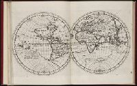
Cross Collection no. 60., From Janssonius's Niewen atlas ... Amstelodami : Apud Ioannem Ianssonium, 1652., Hand col. Mounted on linen., Includes marginal ill., Relief shown pictorially., Title supplied by cataloger., and Variant of Hondius' Polus Antarcticus, 1638.
Publisher:
J. Jansson,
Subject (Geographic):
Antarctica--Maps--Early works to 1800 and Southern Hemisphere--Maps--Early works to 1800
Title devised by cataloger., "Vinc[enti]us demetrei Volcius Rachuseus. Fecit interra Liiburni die 24 Maius 1601.", With blue cloth tie at left edge., Color: red, blue, and some gold., With four compass roses., and Coordinates not present on map and are approximated.
Regnum Congo hoc est vera descriptio regni Africani : quod tam ab incolis quam Lusitanis Congus
Image Count:
1
Description:
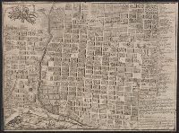
Map has two identical small holes on both the top left and top right corners. and Third of three maps bound following leaf [4] of preface, continued from previous leaves.
Cordiform projection., From: "Claudii Ptholemaei Alexandrini liber geographiae cum tabulis...", From: Clavdii Ptholemaei Alexandrini Liber geographiae cvm tabvlis...1511., Lanman collection; dgvmp2008., Map is printed in two colors, red and black., Outer map border shows decorative windheads and zodiacal signs., The author's name is often given as Bernard Sylvanus (see Shirley entry 32, plate 35) or Bernardus Sylvanus., and Title supplied by cataloger.
Publisher:
Per Iacobum Pentium de Leucho,
Subject (Name):
Pencio, Jacopo, active 1486-1530 and Ptolemy, active 2nd century. Geographia