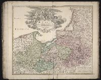
Appears in Wit's Atlas major., Includes coats of arms., No. 22 of 69 maps bound together in composite atlas., Relief shown pictorially., and Scale [ca. 1:1 100 000].
Publisher:
[Frederik de Wit]
Subject (Geographic):
Italy, Southern --Maps --Early works to 1800 and Naples (Kingdom) --Maps --Early works to 1800
[Atlas factice of 50 maps, primarily by Johann Baptist Homann and/or issued by the Homann Erben
Image Count:
1
Alternative Title:
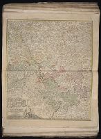
Cercle d’Autriche : consistant dans l’Archiduche d’Autriche, le Duche de Stirie, de Carinthie, de Carniole, dans la Comte de Tyrol, et les pais autrichiens anterieurs dans la Souabe, avec ses confins, Circulus Austriacus, and Circvlvs Avstriacvs
Publisher:
Curantibus Homannianis Heridibus
Subject (Geographic):
Austria --Maps --Early works to 1800 and Europe, Central --Maps --Early works to 1800
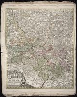
[Atlas factice of 42 maps, produced by the Homann Erben firm]
Image Count:
1
Alternative Title:
Cercle d’Autriche : consistant dans l’Archiduche d’Autriche, le Duche de Stirie, de Carinthie, de Carniole, dans la Comte de Tyrol, et les pais autrichiens anterieurs dans la Souabe, avec ses confins, Circulus Austriacus, and Circvlvs Avstriacvs
Publisher:
Curantibus Homannianis Heridibus
Subject (Geographic):
Austria --Maps --Early works to 1800 and Europe, Central --Maps --Early works to 1800