
Search


Limit your search
- Public11
- Nautical charts✖[remove]11
- Maps, Atlases & Globes✖[remove]11
- French✖[remove]11
- Dutch; Flemish2
- Coast defenses--Spain--Gibraltar, Bay of--Maps--Early works to 18001
- Coasts1
- Coasts--Delaware--Maps--Early works to 18001
- Coasts--Maryland--Maps--Early works to 18001
- Coasts--New Jersey--Maps--Early works to 18001
- Fortification--Spain--Gibraltar, Bay of--Maps--Early works to 18001
- Nautical charts--Atlantic Coast (North America)--Early works to 18001
- Nautical charts--Atlantic Coast (South Atlantic States)--Early works to 18001
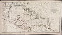
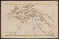
- Nautical charts--Caribbean Area--Early works to 18001
- Nautical charts--Chesapeake Bay (Md. and Va.)--Early works to 18001
- Curieuse (Boat)--Nautical charts2
- Mortier, Pierre2
- Société de géographie (France)2
- Buache, Philippe, 1700-1773. Atlas géographique et universel1
- Coquart, A1
- Cóvens et Mortier1
- Franklin, Benjamin, 1706-17901
- Hansen, Jules, 1849-19311
- L'Isle, Guillaume de, 1675-1726. Atlas géographique et universel1
- Loranchet, Jean1
Current results range from 1687 to 1922