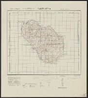
Great Britain. War Office. General Staff. Geographical Section
Published / Created:
1943
Call Number:
56cbf 1942
Container / Volume:
BRBL_00297
Image Count:
1
Resource Type:
Maps, Atlases & Globes
Alternative Title:
Great Britain. War Office. General Staff. Geographical Section. G.S.G.S. ; 4304. and Its [G.S.G.S.] ; 4304
Description:
"Drawn and reproduced by 512 (A. Fd. svy.) coy., R.E., Dec. 1941. Compiled from G.S.G.S. 4065 and 2957.", "Published by W.O. 1942.", Elevations shown by altitude tints., Marginal map: Index to adjoining sheet [Malaya] and boundaries., and Relief shown by contours
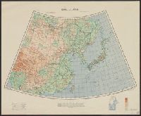
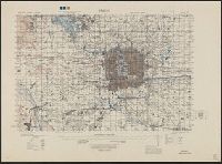
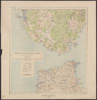
Great Britain. War Office. General Staff. Geographical Section
Published / Created:
1945
Call Number:
56 P36 1945
Container / Volume:
BRBL_00297
Image Count:
1
Resource Type:
Maps, Atlases & Globes
Alternative Title:
G.S.G.S. ; 3789
Description:
"9-45.", "Geographical Section, General Staff, No. 3789. Published at the War Office 1927. First GSGS Edition (AMS 1), 1926; Third GSGS Edition (AMS 2), 1944; AMS Revisions (AMS 3), 1944.", "Peking N3949-E11610/11x21"--Lower right margin., Includes legend., and R
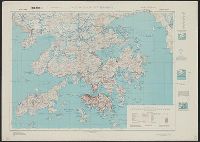
Great Britain. War Office. General Staff. Geographical Section
Published / Created:
1945
Call Number:
5681 1945
Container / Volume:
BRBL_00300
Image Count:
2
Resource Type:
Maps, Atlases & Globes
Alternative Title:
GSGS (Series), Hong Kong and Lema Islands, Hong Kong and Lema Islands., and Hong Kong and New territory.
Description:
"7-45.", "8-45.", "Reproduced under the direction of the Chief of Engineers by the Army Map Service (AM), U.S. Army ... 1945, from Kodalines of GSGS Second Edition 1945...", and North sheet. Hong Kong and New territory -- South sheet. Hong Kong and Lema Islands.
Publisher:
Army Map Service, U.S. Army,
Subject (Geographic):
Hong Kong (China)--Maps and New Territories (China)--Maps
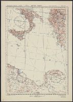
Great Britain. War Office. General Staff. Geographical Section
Published / Created:
1943
Call Number:
40 P19 1942
Container / Volume:
BRBL_00213
Image Count:
1
Resource Type:
Maps, Atlases & Globes
Alternative Title:
Geographical Section, General Staff ; no. 4162 and GSGS (Series) ; 4162.
Description:
"3-43.", "Copied from an Italian map of 1896.", "Grid added November 1942.", Military grid., and Relief shown by contours, rock drawings, and spot heights.
Great Britain. War Office. General Staff. Geographical Section
Published / Created:
1919?]
Call Number:
434fd 1919
Container / Volume:
BRBL_00251
Image Count:
1
Resource Type:
Maps, Atlases & Globes
Alternative Title:
Czecho-Slovakia
Description:
"G.S.G.S. No. 2758.", "S.G.A. 2.4.19.", Also shows portions of Germany, Poland, Austria, Hungary, and Romania., In French and English., Relief shown by contours and spot heights., and Shows proposed boundaries and roads.
Publisher:
G.S.G.S.,
Subject (Geographic):
Czechoslovakia--Boundaries--Maps and Czechoslovakia--Maps