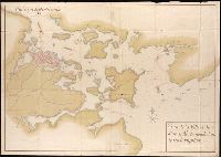
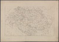
Henri Crublier d'Opterre journal and maps, [1776]-1783.
Container / Volume:
Bsd folder 10
Image Count:
3
Subject (Geographic):
America--Maps--Early works to 1800, Portsmouth (N.H.)--Maps--Early works to 1800, and United States--History--Revolution, 1775-1783--Maps--Early works to 1800.
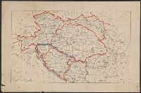
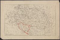
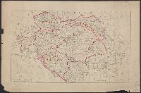
BEIN Series 304 1886A: Imperfect: all sheets but C2-4, D2-4, E2-4 wanting., In upper margin of some maps: Domborzati áttekintés., Maps individually numbered and subtitled in upper margin, e.g.: B.4. Pola, Zara, Comacchio -- C2. Brno -- D.2. Kassa és Kraków -- E3. Koloszvár -- F.3. Bielcy, Kisziniew, Jassi., Publisher's name in lower margin differs: M. Kir. Térképészeti Intézet -- M. Kir. Állami Térképészeti Intézet -- M. Kir. Állami Térképészet -- M.kir. állami térképészet nyomása., Subtitles for the same map may differ according to ed., Title devised by cataloger., and Various eds. of some maps.
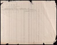
107 colored manuscript railroad maps, detailing the line of the Colorado Midland Railway between Park County and Pitkin and Garfield Counties. The highly detailed maps depict county ranges and townships, survey points and mileage markers, depots, canyons, bridges, sidings, trestles, tunnels, rivers, creeks, etc.; adjacent railroad lines and rights-of-way; hamlets, villages, settlements, ranches, farms, etc.; and plats of the towns of Buena Vista, Leadville, Glenwood Springs, and Aspen. Counties covered are Chaffee, Eagle, Garfield, Lake, Park, and Pitkin. Accompanied by an incomplete index (1 leaf) entitled "Valuation Section [?] Colo. Midland Ry" and two leaves of surveying notes.
Description:
Versos blank, not digitized.
Subject (Geographic):
Colorado--Maps and Garfield County (Colo.)--Maps
Subject (Name):
Colorado Midland Railway Company
Subject (Topic):
Mines and mineral resources--Colorado--Maps and Railroads--Colorado--Maps