United States. Army Service Schools (Fort Leavenworth, Kan.)
Published / Created:
1913
Call Number:
774 G33 1913R
Container / Volume:
BRBL_00499
Image Count:
1
Resource Type:
Maps, Atlases & Globes
Description:
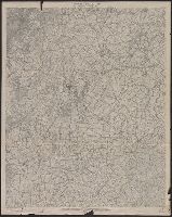
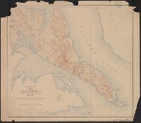
"Reduced from 12 in. W, Covers area from Heidlersburg, Pa. to Mayberry, Md., Datum is mean sea level., Imperfect: Mutilated, with some loss of text., In upper right margin: New Oxford sheet., Lower right margin: R 21., and Relief shown by contours and spot heights.
Publisher:
Army Service Schools,
Subject (Geographic):
Antietam Region (Md.)--Topographic maps and Gettysburg Region (Pa.)--Topographic maps
Geological atlas projected to illustrate geographical explorations and surveys west of the 100th meridian of longitude. and Parts of eastern Arizona and western New Mexico
Description:
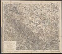
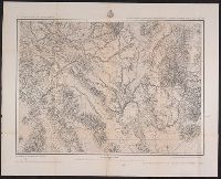
"6"--Verso., "By order of the honorable the Secretary of War. Under the direction of Brig. Gen. A.A. Humphreys, Chief of Engineers, U.S. Army.", "Expeditions of 1871, 1873 & 1875.", "Issued Mar: 18th, 1876.", "Weyss, Herman & Lang, del.", and Variant[?] lacking date of issuance statement.
Publisher:
U.S. Army, Corps of Engineers,
Subject (Geographic):
Arizona--Maps and New Mexico--Maps
Subject (Name):
Geographical Surveys West of the 100th Meridian (U.S.)
Geographical Surveys West of the 100th Meridian (U.S.)
Published / Created:
1879
Call Number:
841 1879A
Container / Volume:
BRBL_00596
Image Count:
1
Resource Type:
Maps, Atlases & Globes
Alternative Title:
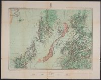
Land classification map of part of southern New Mexico, atlas sheet no. 84 (B)
Description:
"7"--Verso., "Expeditions of 1877.", "Issued June 30, 1879.", "Weyss, Lang and Herman, del."--Lower right border., Includes atla, Relief shown by hachures and spot heights., and Shows land types: agricultural (with irrigation), timber, grazing, and arid and barren.