
Search


Limit your search
- Public45
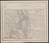
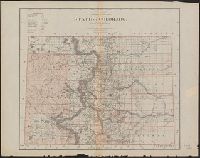
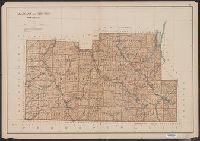
- cartographic✖[remove]45
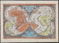
- Early maps--Facsimiles2
- Groundwater--Arkansas--Maps2
- Groundwater--Louisiana--Maps2
- Early maps1
- Forests and forestry--Wyoming--Sheridan County--Maps1
- Forests and forestry--Wyoming--Weston County--Maps1
- Land capability for agriculture--Wyoming--Sheridan County--Maps1
- Land capability for agriculture--Wyoming--Weston County--Maps1
- Land grants--New York (State)--Allegany County--Maps1
- Land grants--New York (State)--Cattaraugus County--Maps1
- Julius Bien & Co✖[remove]45
- Bien, Joseph R. Atlas of the state of New York9
- Tweedy, Frank, 1854-19374
- Northern Transcontinental Survey. Topographical Dept3
- Owen, F. D3
- United States. General Land Office3
- Gannett, Henry, 1846-19142
- Geological Survey (U.S.). Annual report2
- Goode, Richard Urquhart, 1858-19032
- Northern Transcontinental Survey2
Current results range from 1862 to 1999