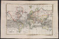
From Bonne's Atlas de toutes les parties connues du globe terrestre ... [Paris : J.L. Pellet, 1780?]., Hand col. Sheet measures 26 x 39 cm. Verso: "Projection de Mercator" in ink ms. Lada-Mocarski Collection., Meridians: Ferro, Paris., and Top left, in margin: "
Publisher:
J.L. Pellet,
Subject (Name):
Bonne, Rigobert, 1727-1794. Atlas de toutes les parties connues du globe terrestre .. and Pellet, J.-L. (Jean-Léonard), publisher
Subject (Topic):
Cartographers--France--18th century and World maps--Early works to 1800
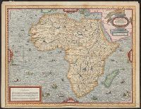
Bar scales given in "mille pas géometriques," "lieues de Hongrie," and "lieues communes d'Allemagne"., Prime meridian: Ferro., Relief shown pictorially., Stamp on verso: 78. Sheet measures 50.5 x 66.6 cm., and Variant with "ordinaire du Roi," privilege statement
Publisher:
Gilles Robert de Vaugondy?,
Subject (Geographic):
Balkan Peninsula--Maps--Early works to 1800, Europe, Central--Maps--Early works to 1800, and Hungary--Maps--Early works to 1800