Search
You Searched For
Search Results
- Creator:
- Sleem, D. H. (David H.)
- Published / Created:
- c1910.
- Call Number:
- 848 W684 1910
- Container / Volume:
- BRBL_00634
- Image Count:
- 1
- Resource Type:
- Maps, Atlases & Globes
- Found in:
- Beinecke Rare Book and Manuscript Library > Map of Willow Creek Mining District, Cook Inlet Precinct, Alaska / compiled ... by D.H. Sleem.
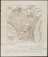
- Creator:
- Milwaukee Lith. & Engr. Co.
- Published / Created:
- [1873?]
- Call Number:
- BrSides 2018 157
- Image Count:
- 1
- Resource Type:
- Maps, Atlases & Globes
- Found in:
- Beinecke Rare Book and Manuscript Library > Map of Wisconsin : prepared for the legislative manual from offical records, 1873.
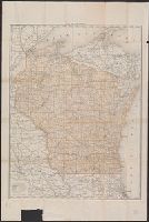
- Creator:
- Poole Brothers
- Published / Created:
- c1906.
- Call Number:
- 812 1906
- Container / Volume:
- BRBL_00555A
- Image Count:
- 1
- Resource Type:
- Maps, Atlases & Globes
- Found in:
- Beinecke Rare Book and Manuscript Library > Map of Wisconsin.
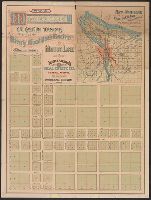
- Published / Created:
- 1889?]
- Call Number:
- 846 W867 1889
- Container / Volume:
- BRBL_00622
- Image Count:
- 2
- Resource Type:
- Maps, Atlases & Globes
- Found in:
- Beinecke Rare Book and Manuscript Library > Map of Woodstock : the eastern terminus of the Waverly-Woodstock Electric motor line / J.C. Havely, trustee ; Telfer & Stearns Real Estate Co., general agents.
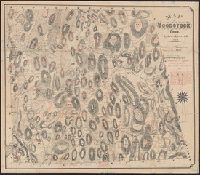
- Creator:
- Lester, John S
- Published / Created:
- [1886]
- Call Number:
- 766 W86 1886
- Container / Volume:
- BRBL_00474
- Image Count:
- 1
- Resource Type:
- Maps, Atlases & Globes
- Found in:
- Beinecke Rare Book and Manuscript Library > Map of Woodstock, Conn., 1883. Topographical & historical names, added by Geo. Clinton Williams, 1886.
- Published / Created:
- 1832
- Call Number:
- 763 W86 1832
- Container / Volume:
- BRBL_00452
- Image Count:
- 1
- Resource Type:
- Maps, Atlases & Globes
- Found in:
- Beinecke Rare Book and Manuscript Library > Map of Woodstock, Vt. Drawn by a Committee from the Woodstock Institute.
- Creator:
- Geo. H. Walker & Co
- Published / Created:
- c1904.
- Call Number:
- 764 W89 1904
- Container / Volume:
- BRBL_00460
- Image Count:
- 1
- Resource Type:
- Maps, Atlases & Globes
- Found in:
- Beinecke Rare Book and Manuscript Library > Map of Worcester County, Mass. / published by Geo. H. Walker & Co.
- Published / Created:
- 1857
- Call Number:
- 764 W89 1857
- Container / Volume:
- BRBL_00460
- Image Count:
- 4
- Resource Type:
- Maps, Atlases & Globes
- Found in:
- Beinecke Rare Book and Manuscript Library > Map of Worcester county, Mass. ... from accurat surveys under the direction of Henry F. Walling ... 1857..
- Creator:
- Wilson, A. D. (Allen D.)
- Published / Created:
- 1882
- Call Number:
- 847 Y12 1882
- Container / Volume:
- BRBL_00627
- Image Count:
- 2
- Resource Type:
- Maps, Atlases & Globes
- Found in:
- Beinecke Rare Book and Manuscript Library > Map of Yakima Region, Washington Ter. / Northern Transcontinental Survey, Raphael Pumpelly, director ; A.D. Wilson, chief topographer ; R.U. Goode, topographer ; Frank Tweedy, Asst. ; F.D. Owen, chief draughtsman.