Search
You Searched For
Search Results
- Creator:
- United States. Foreign Economic Administration. Far East Enemy Division
- Published / Created:
- 1944
- Call Number:
- 56gm 1944A
- Container / Volume:
- BRBL_00298
- Image Count:
- 2
- Resource Type:
- Maps, Atlases & Globes
- Found in:
- Beinecke Rare Book and Manuscript Library > China transportation [cartographic material] / Foreign Economic Administration, Far East Enemy Division.
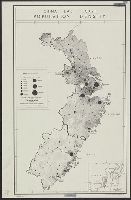
- Creator:
- United States. Office of Strategic Services. Research and Analysis Branch
- Published / Created:
- [1944]
- Call Number:
- 56eb 1944
- Container / Volume:
- BRBL_00298
- Image Count:
- 1
- Resource Type:
- Maps, Atlases & Globes
- Found in:
- Beinecke Rare Book and Manuscript Library > China, east coast [cartographic material] : population density.
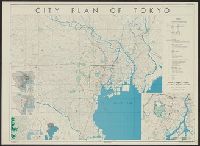
- Creator:
- United States. Office of Strategic Services
- Published / Created:
- 1944
- Call Number:
- 57gm T578 1944A
- Container / Volume:
- BRBL_00307
- Image Count:
- 1
- Resource Type:
- Maps, Atlases & Globes
- Found in:
- Beinecke Rare Book and Manuscript Library > City plan of Tōkyō.
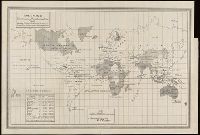
- Creator:
- United States. Bureau of Statistics
- Published / Created:
- [1898]
- Call Number:
- BrSides Folio 2019 4
- Image Count:
- 1
- Resource Type:
- Maps, Atlases & Globes
- Found in:
- Beinecke Rare Book and Manuscript Library > Colonies, dependencies and protectorates of the world [cartographic material] : showing area and population of the colonies, dependencies, protectorates and spheres of influence.
- Creator:
- Geological Survey (U.S.)
- Published / Created:
- 1910
- Call Number:
- BrSides Double Folio 2019 84
- Image Count:
- 1
- Resource Type:
- Maps, Atlases & Globes
- Found in:
- Beinecke Rare Book and Manuscript Library > Colorado (Lake County), Leadville special map [cartographic material] / triangulation and topography by A.D. Wilson, chief topographer.
- Creator:
- Geological Survey (U.S.)
- Published / Created:
- 1906
- Call Number:
- BrSides Folio 2019 61
- Image Count:
- 1
- Resource Type:
- Maps, Atlases & Globes
- Found in:
- Beinecke Rare Book and Manuscript Library > Colorado, Central City special map [cartographic material] / U.S. Geological Survey ; E.M. Douglas, geographer ; Frank Tweedy, in charge of section ; topography by Pearson Chapman and D.F. Moor ; triangulation by Frank Tweedy.
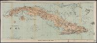
- Creator:
- U.S. Coast and Geodetic Survey
- Published / Created:
- 1898
- Call Number:
- 855hc 1898Q
- Container / Volume:
- BRBL_00765
- Image Count:
- 1
- Resource Type:
- Maps, Atlases & Globes
- Found in:
- Beinecke Rare Book and Manuscript Library > Cuba : part of chart "E" / Treasury Department, U.S. Coast and Geodetic Survey, Henry S. Pritchett, Superintendent.
- Creator:
- Steiger, W. T
- Published / Created:
- 1854
- Call Number:
- 75gme 1854
- Container / Volume:
- BRBL_00411
- Image Count:
- 2
- Resource Type:
- Maps, Atlases & Globes
- Found in:
- Beinecke Rare Book and Manuscript Library > Diagram of the United States of America, Mexico, the West India Islands and Isthmus of Darien : showing proposed routes of the Pacific Rail Road ... / by W. T. Steiger, General Land Office ; Lith. by A. Hoen & Co. Baltimore.
- Creator:
- Geological and Geographical Survey of the Territories (U.S.)
- Published / Created:
- 1879
- Call Number:
- 80cbj 1879
- Container / Volume:
- BRBL_00537
- Image Count:
- 1
- Resource Type:
- Maps, Atlases & Globes
- Found in:
- Beinecke Rare Book and Manuscript Library > Drainage map showing portions of Wyoming, Idaho and Utah / primary triangulation by A.D. Wilson ; topography by Henry Gannett, G.B. Chittenden, G.R. Bechler and F.A. Clark ; F.V. Hayden, U.S. Geologist in charge.
- Creator:
- United States. Office of Strategic Services. Geography Division
- Published / Created:
- 1942
- Call Number:
- 645 D932 1942
- Container / Volume:
- BRBL_00340
- Image Count:
- 1
- Resource Type:
- Maps, Atlases & Globes
- Found in:
- Beinecke Rare Book and Manuscript Library > Durban (Port Natal) / drawn in the Geography Division, O.S.S.