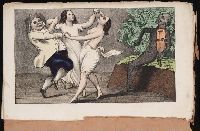
The discoveries of John Lederer : in three several marches from Virginia, to the west of Carolina
Image Count:
1
Description:
Engraved by Cross. and Preceding title page.
Subject (Geographic):
North Carolina --Description and travel, North Carolina --Maps --Early works to 1800, Virginia --Description and travel, and Virginia --Maps --Early works to 1800
Subject (Name):
Talbot, William
Subject (Topic):
Indians of North America --North Carolina and Indians of North America --Virginia
The American military pocket atlas : being an approved collection of correct maps, both general and
Image Count:
1
Description:
Augst. 5th. 1776., Inset: A particular plan of Lake George. surveyed in 1756. By Capt. Jackson., and Teaching resource: Professor John Mack Faragher, History 141: The American West.
Publisher:
Printed for Robt. Sayer & Jno. Bennett, Map & Sea Chartsellers No. 53 Fleet Street, as the Act directs
Subject (Geographic):
North America --Maps --Early works to 1800 and United States --History --Revolution, 1775-1783 --Maps
Collection Created:
London : Printed for R. Sayer and J. Bennet, [1776]
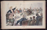
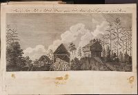
An historical, geographical, commercial, and philosophical view of the American United States, and
Image Count:
1
Description:
Facing p. 396.
Publisher:
Printed for the editor; J. Ridgway [etc.]
Subject (Geographic):
America --Description and travel, America --History --To 1810, Ohiopyle (Pa.), Pennsylvania --Pictorial works, and United States --Description and travel
Collection Created:
London, Printed for the editor; J. Ridgway [etc.] 1795
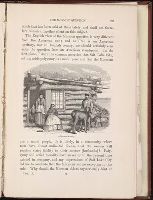
Travels through the interior parts of America. In a series of letters. By an officer ...
Image Count:
1
Description:
1 Jan. 1789., Between p. 350 & p. 351., and Teaching resource: Professor John Mack Faragher, History 141: The American West.
Subject (Geographic):
Canada --Description and travel, United States --Description and travel --Early works to 1800, and United States --History --Revolution, 1775-1783 --Personal narratives, British