
Search


Limit your search
- Unspecified✖[remove]80
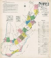
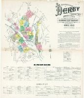
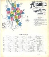
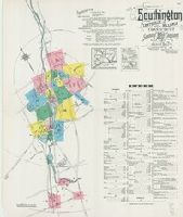
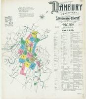
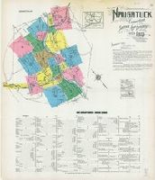
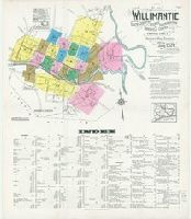
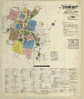
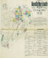
- Sanborn Map Company, issuing body46
- Sanborn-Perris Map Co., issuing body14
- Bickham, George, 1706?-1771, printmaker2
- Sanborn Map & Publishing Co., issuing body2
- Barlow, Inigo, printmaker1
- Boydell, John, 1720-1804, printmaker1
- Bry, Theodor de, 1528-15981
- Campbell, Colen, 1676-1729, artist1
- Defoe, Daniel, 1661?-17311
- Faden, William, 1749-18361
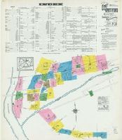
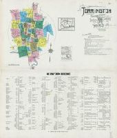
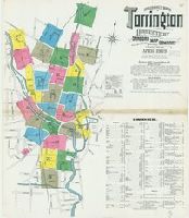
- Fire risk assessment--Connecticut--Torrington--Maps4
- Fire risk assessment--Connecticut--Waterbury--Maps4
- Real property--Connecticut--Torrington--Maps4
- Real property--Connecticut--Waterbury--Maps4
- Fire risk assessment--Connecticut--Ansonia--Maps3
- Fire risk assessment--Connecticut--Bridgeport--Maps3
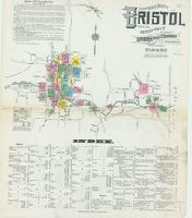
- Fire risk assessment--Connecticut--Bristol--Maps3
- Fire risk assessment--Connecticut--Danbury--Maps3
- Fire risk assessment--Connecticut--Groton--Maps3
- Fire risk assessment--Connecticut--Manchester--Maps3
- Library of Congress Stamp52
- Library of Congress Ownership4
- Library of Congress. Map Division Stamp3
- Charles Edward, Prince, grandson of James II, King of England, 1720-17882
- Fleury, André Hercule de, 1653-17432
- Nicholson, John, d. ca. 1717, bookseller2
- Vernon, Edward, 1684-17572
- Walpole, Robert, Earl of Orford, 1676-17452
- Barker, B. (Benjamin), d. 1764, bookseller1
- Brunswick-Luneburg, House of1