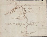
Appears in the Cóvens et Mortier's Atlas nouveau, 1730 and later eds., Bar scale given in "echelle de cent lieues Francoises"., Copy 1: Bookseller's label: Libreria Loescher e Co. ... Roma. Mounted on linen. Sheet measures 56.5 x 65.8 cm., and Covers eastern Un
Publisher:
Chez Jean Cóvens et Corneille Mortier, geographes,
Subject (Geographic):
Louisiana--Maps--Early works to 1800
Subject (Name):
Cóvens et Mortier. Atlas nouveau and Le Maire, François
Navigatio ac itinerarivm Iohannis Hvgonis Linscotani in Orientalem sive Lvsitanorvm Indiam
Image Count:
1
Description:
Bound in following page 22.
Subject (Geographic):
Borneo --Maps
Subject (Name):
Claesz, Cornelis, ca. 1546-1609, publisher, Elzevier, Gillis, bookseller, Hendricksz, Aelbrecht, fl. 1573-1605, printer, and Langren, Arnold Florent van, 1580-1644
Subject (Topic):
Voyages and travels --Early works to 1800
Collection Created:
Hagae-Comitis : Ex officina Alberti Henrici, impensis authoris & Cornelii Nicolai, prostantque apud Aegidium Elseuirum, anno 1599
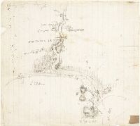
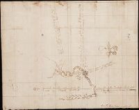
Relief shown pictorially and by hachures. and Shows the Canadian-United States border from Lake Ontario along the St. Lawrence River to 45₋p0₋s N. latitude, east to the Connecticut River, and northeast along the "Height of the land." Coverage of areas away fr