Skip to search
Skip to main content
Skip to first result
Search
You Searched For
Call Number
2003 Folio 85
New Search
Search Results
Creator:
Published / Created:
1766. NB. With a book of directions
Call Number:
2003 Folio 85
Image Count:
1
Found in:
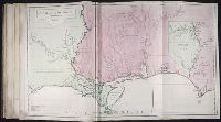
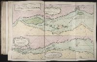
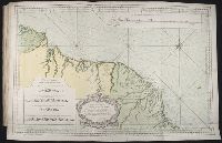
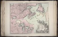
Beinecke Rare Book and Manuscript Library > A chart of part of the south coast of Newfoundland: including the islands St. Peters and Miquelon : from an actual survey taken by order of Commodore Pallisser, Governor of Newfoundland, Labrador, &c
Creator:
Published / Created:
1766
Call Number:
2003 Folio 85
Image Count:
1
Found in:
Beinecke Rare Book and Manuscript Library > A chart of the Straights of Bellisle: with part of the coast of Newfoundland and Labradore from actual surveys. Taken by order of Commodore Pallisser, Governor of Newfoundland, Labrador, &ca
Creator:
Published / Created:
[1768]
Call Number:
2003 Folio 85
Image Count:
1
Found in:
Beinecke Rare Book and Manuscript Library > A correct plan of the environs of Quebec, and of the battle fought on the 13th September, 1759: together with a particular detail of the French lines and batteries, and also of the encampments, batteries and attacks of the British army, and the investitur
Creator:
Published / Created:
Decr. 1766
Call Number:
2003 Folio 85
Image Count:
1
Found in:
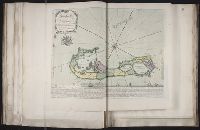
Beinecke Rare Book and Manuscript Library > A draught of Port Royal Harbour in South Carolina: with the marks for going in : most humbly inscribed to the publick
Creator:
Published / Created:
Decem'r. 1766
Call Number:
2003 Folio 85
Image Count:
1
Found in:
Beinecke Rare Book and Manuscript Library > A draught of the harbour of Halifax and the adjacent coast in Nova Scotia: surveyed by order of Commodore Spry
Creator:
Published / Created:
December 1766
Call Number:
2003 Folio 85
Image Count:
1
Found in:
Beinecke Rare Book and Manuscript Library > A draught of west Florida : with part of the river Mississippi
Creator:
Published / Created:
1758
Call Number:
2003 Folio 85
Image Count:
1
Found in:
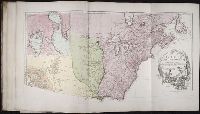
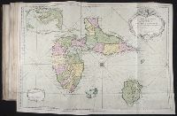
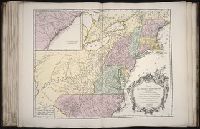
Beinecke Rare Book and Manuscript Library > A general map of the middle British colonies in America: viz. Virginia, Maryland, Delaware, Pensilvania, New-Jersey, New-York, Connecticut and Rhode-Island : of Aquanishuonigy the country of the confederate Indians comprehending Aquanishuonigy proper, the
Creator:
Published / Created:
1765
Call Number:
2003 Folio 85
Image Count:
1
Found in:
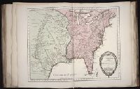
Beinecke Rare Book and Manuscript Library > A map of North America
Creator:
Published / Created:
November 29th 1755
Call Number:
2003 Folio 85
Image Count:
1
Found in:
Beinecke Rare Book and Manuscript Library > A map of the most inhabited part of New England: containing the provinces of Massachusets Bay and New Hampshire, with the colonies of Conecticut and Rhode Island : divided into counties and townships : the whole composed from actual surveys and its situat
Creator:
Published / Created:
[1755]
Call Number:
2003 Folio 85
Image Count:
1
Found in:
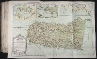
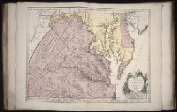
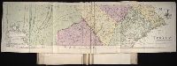
Beinecke Rare Book and Manuscript Library > A map of the most inhabited part of Virginia containing the whole province of Maryland: with part of Pensilvania, New Jersey and North Carolina
Creator:
Published / Created:
1722
Call Number:
2003 Folio 85
Image Count:
1
Found in:
Beinecke Rare Book and Manuscript Library > A new & exact map of the island of Barbadoes in America: according to an actual & accurate survey made in the years 1717 to 1721, approved by the Royal Society & authorized by His Majesty's royal licence
Creator:
Published / Created:
[ca. 1762]
Call Number:
2003 Folio 85
Image Count:
1
Found in:
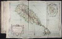
Beinecke Rare Book and Manuscript Library > A new map of Jamaica: in which the several towns, forts, & settlements are accurately laid down, as well as the situations & depths of the most noted harbours and anchoring places
Creator:
Published / Created:
1755
Call Number:
2003 Folio 85
Image Count:
1
Found in:
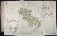
Beinecke Rare Book and Manuscript Library > A new map of Nova Scotia, and Cape Britain: With the adjacent parts of New England and Canada, composed from a great number of actual surveys; and other materials regulated by many new astronomical observations of the longitude as well as latitude; with a
Creator:
Published / Created:
1746
Call Number:
2003 Folio 85
Image Count:
1
Found in:
Beinecke Rare Book and Manuscript Library > Amerique Septentrionale: publiee sous les auspices de Monseigneur le Duc d'Orleans preÌÎåmier prince du sang / par le Sr. D'Anville
Creator:
Published / Created:
avec privilege 1748
Call Number:
2003 Folio 85
Image Count:
1
Found in:
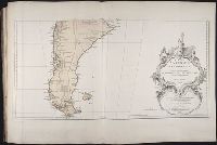
Beinecke Rare Book and Manuscript Library > Amerique meridionale : publiee sous les auspices de Monseigneur le Duc d'Orleans preå«mier prince du sang / par le Sr. D'Anville
Creator:
Published / Created:
avec privilege 1750
Call Number:
2003 Folio 85
Image Count:
1
Found in:
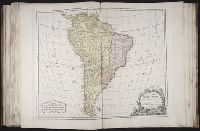
Beinecke Rare Book and Manuscript Library > Amerique meridionale: dresee sur les memoires les plus recents et assujetie aux observations astronomique
Creator:
Published / Created:
[between 1755 and 1775?]
Call Number:
2003 Folio 85
Image Count:
1
Found in:
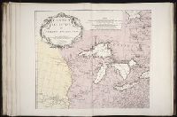
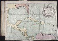
Beinecke Rare Book and Manuscript Library > An accurate map of North America: describing and distinguishing the British, Spanish and French dominions on this great continent; exhibiting the present seat of war, and the French encroachments. Also all the West India Islands belonging to, and possesse
Creator:
Published / Created:
Novembre 1755
Call Number:
2003 Folio 85
Image Count:
1
Found in:
Beinecke Rare Book and Manuscript Library > Canada, Louisiane et terres angloises
Creator:
Published / Created:
1763
Call Number:
2003 Folio 85
Image Count:
1
Found in:
Beinecke Rare Book and Manuscript Library > Carte de l'Isle Saint Pierre: dressee au Depost des Cartes et Plans de la marine pour le service des vaisseaux du roy par ordre de M. Le Duc de Choiseul colonel-general des Suisses et Grisons, ministre de la guerre et de la marine
Creator:
Published / Created:
avec privilege 1749
Call Number:
2003 Folio 85
Image Count:
1
Found in:
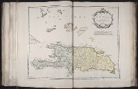
Beinecke Rare Book and Manuscript Library > Carte de l'isle de Saint-Domingue: dressee d'apres la carte originale de Mr. Frezier
Creator:
Published / Created:
1763
Call Number:
2003 Folio 85
Image Count:
1
Found in:
Beinecke Rare Book and Manuscript Library > Carte de l'isle de Sainte Lucie
Creator:
Published / Created:
1760
Call Number:
2003 Folio 85
Image Count:
1
Found in:
Beinecke Rare Book and Manuscript Library > Carte de l'isle de la Grenade
Creator:
Published / Created:
1763
Call Number:
2003 Folio 85
Image Count:
1
Found in:
Beinecke Rare Book and Manuscript Library > Carte de la Guyane francoise et l'isle de Cayenne
Creator:
Published / Created:
[1752]
Call Number:
2003 Folio 85
Image Count:
1
Found in:
Beinecke Rare Book and Manuscript Library > Carte de la Louisiane
Creator:
Published / Created:
1755?
Call Number:
2003 Folio 85
Image Count:
1
Found in:
Beinecke Rare Book and Manuscript Library > Carte de la Louisiane et des pays voisins: dediee a M. Rouille, secretaire d'Etat, ayant le Departement de la marine
Creator:
Published / Created:
1755
Call Number:
2003 Folio 85
Image Count:
1
Found in:
Beinecke Rare Book and Manuscript Library > Carte de la Virginie et du Maryland
Creator:
Published / Created:
ca. 1763
Call Number:
2003 Folio 85
Image Count:
1
Found in:
Beinecke Rare Book and Manuscript Library > Carte des isles de Saint Pierre et Miquelon: levee par ordre de M. Le Duc du Choiseul, Colonel General des Suisses et Grisons Ministre de la Guerre et de la Marine, 1763 : reduite et assujetie au ciel par le service des vaisseaux du Roy
Creator:
Published / Created:
1791
Call Number:
2003 Folio 85
Image Count:
1
Found in:
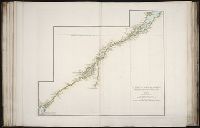
Beinecke Rare Book and Manuscript Library > Carte du cours du fleuve de Saint Laurent depuis Quebec jusqu'a la mer en deux feuilles: 1re. feuille depuis Quebec jusqu'a Matane et Rivere des Outardes, 1761
Creator:
Published / Created:
1762?
Call Number:
2003 Folio 85
Image Count:
1
Found in:
Beinecke Rare Book and Manuscript Library > Carte hydrographique de la baye de la Havane: avec le plan de la ville et de ses forts pour joindre a la Carte de l'isle de Cube
Creator:
Published / Created:
1758
Call Number:
2003 Folio 85
Image Count:
1
Found in:
Beinecke Rare Book and Manuscript Library > Carte reduite de l'isle d'Antigue: dressee au Depost des cartes, plans et journaux de la marine : pour le service des vaisseaux du roy : par ordre de M. le Marquis de Massiac, lieutenant general des Armees navales, Secretaire d'Etat aiant le Departement d
Creator:
Published / Created:
1762?
Call Number:
2003 Folio 85
Image Count:
1
Found in:
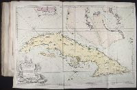
Beinecke Rare Book and Manuscript Library > Carte reduite de l'isle de Cube
Creator:
Published / Created:
1758
Call Number:
2003 Folio 85
Image Count:
1
Found in:
Beinecke Rare Book and Manuscript Library > Carte reduite de l'isle de Saint Christophe: dressee des cartes, plans et journaux de la marine : pour le service des vaisseaux du roy : par ordre de M. le Marquis de Massiac, lieutenant general des Armees navales, Secretaire d'Etat aiant le Departement d
Creator:
Published / Created:
1758
Call Number:
2003 Folio 85
Image Count:
1
Found in:
Beinecke Rare Book and Manuscript Library > Carte reduite de l'isle de la Martinique
Creator:
Published / Created:
1760
Call Number:
2003 Folio 85
Image Count:
1
Found in:
Beinecke Rare Book and Manuscript Library > Carte reduite des costes de la Guyane: depuis la riviere d'Orenoque jusqu'au Cap de Nord a l'entree de la riviere des Amazones
Creator:
Published / Created:
1759
Call Number:
2003 Folio 85
Image Count:
1
Found in:
Beinecke Rare Book and Manuscript Library > Carte reduite des isles de la Guadeloupe, Marie Galante, et les Saintes
Published / Created:
1754
Call Number:
2003 Folio 85
Image Count:
1
Found in:
Beinecke Rare Book and Manuscript Library > Carte reduite du golphe du St. Laurent: contenant l'isle de Terre-Neuve et partie de la coste des Esquimaux, l'isle Royale, l'isle St. Jean et celle d'Anticosti &ca
Creator:
Published / Created:
1761
Call Number:
2003 Folio 85
Image Count:
1
Found in:
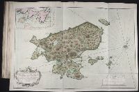
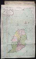
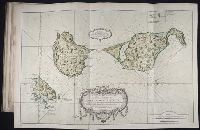
Beinecke Rare Book and Manuscript Library > Dominica
Published / Created:
ca. 1755
Call Number:
2003 Folio 85
Image Count:
1
Found in:
Beinecke Rare Book and Manuscript Library > Le fleuve Saint-Laurent: represente plus en detail que dans l'etendue de la carte
Creator:
Published / Created:
1755
Call Number:
2003 Folio 85
Image Count:
1
Found in:
Beinecke Rare Book and Manuscript Library > Mapa maritimo del Golfo de Mexico e islas de la America: para el uso de los navegantes en esta parte del mundo, construido sobre las mexores memorias, y observaciones astronomicas de longitudes, y latitudes
Creator:
Published / Created:
1755
Call Number:
2003 Folio 85
Image Count:
1
Found in:
Beinecke Rare Book and Manuscript Library > Partie de l'Amerique septent? qui comprend la Nouvelle France ou le Canada
Creator:
Published / Created:
1755
Call Number:
2003 Folio 85
Image Count:
1
Found in:
Beinecke Rare Book and Manuscript Library > Partie de l'Amerique septentrionale: qui comprend le cours de l'Ohio, la Nlle. Angleterre, la Nlle York, le New Jersey, la Pensylvanie, le Maryland, la Virginie, la Caroline
Creator:
Published / Created:
1750
Call Number:
2003 Folio 85
Image Count:
1
Found in:
Beinecke Rare Book and Manuscript Library > Partie de la mer du Nord: ouse trouvent les grandes et petites isles Antilles, et les isles Lucayes
Creator:
Published / Created:
1738?
Call Number:
2003 Folio 85
Image Count:
1
Found in:
Beinecke Rare Book and Manuscript Library > To His Excellency Alured Popple, Esq., governour of Bermuda, or the Summer Islands, this map, from a new survey correcting ye dangerous errors in all ye charts of that place hitherto publish'd
Creator:
Published / Created:
1759
Call Number:
2003 Folio 85
Image Count:
1
Found in:
Beinecke Rare Book and Manuscript Library > To the Honourable Thomas Penn and Richard Penn, Esqrs: true & absolute proprietaries & Governours of the Province of Pennsylvania & counties of New-Castle, Kent & Sussex on Delaware, this map of the improved part of the Province of Pennsylvania is humbly
Creator:
Published / Created:
1766
Call Number:
2003 Folio 85
Image Count:
1
Found in:
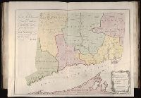
Beinecke Rare Book and Manuscript Library > To the right honourable, the Earl of Shelbourne, His Majesty's principal Secretary of State for the Southern Department, this plan of the colony of Connecticut in North-America: is humbly dedicated by his lordships most obedient humble servt., Moses Park,
Branch:v1.60.98 ,Deployed:2024-04-17T09:53:59-04:00