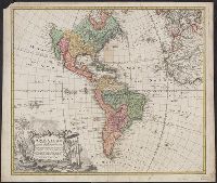
At least three states of the 1746 map exist: one state has the privilige statement "Cum Privil S.C.M." following publisher and preceding date in the cartouche, but without engraver statement "Seb. Dorn, sc." below neat line; another state has no privilege statement, but has engraver statement below neat line; and another state has no privilege statement or engraver statement, but lists "Falkland" below I. Malouines (off the southern coast of Argentia), which is missing from all other states., Relief shown pictorially., and With privilege statement in cartouche. Sheet measures 50 x 59.5 cm. Verso: "8" in ink ms. Franklin Collection.
Publisher:
In lucem proferentibus Homannianis Heredibus,
Subject (Geographic):
America--Maps--Early works to 1800 and Western Hemisphere--Maps--Early works to 1800
Subject (Name):
Boehme, August Gottlieb, 1719-1797 and Hase, Johann Matthias, 1684-1742