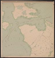
1. [Map of Canada north of 60⁰]. Published / Created: 1910?] Call Number: 73 1910A Container / Volume: BRBL_00375A Image Count: 3 Resource Type: Maps, Atlases & Globes Description: Imperfect: Incomplete; available sheets show the Yukon and parts of the Northwest Territories and Baffin Island. Ms. annotations in blue pencil to indicate area of "new map" and Manitoba boundary. Publisher: Dept. of the Interior?, Subject (Geographic): Canada--Maps Subject (Name): Canada. Dept. of the Interior Found in: Beinecke Rare Book and Manuscript Library > [Map of Canada north of 60⁰].