Search
You Searched For
Search Results
- Creator:
- Jefferys, Thomas, d. 1771
- Published / Created:
- 1775 June 15
- Call Number:
- 755 1775D
- Container / Volume:
- BRBL_00429
- Image Count:
- 1
- Resource Type:
- Maps, Atlases & Globes
- Found in:
- Beinecke Rare Book and Manuscript Library > A general map of the middle British colonies in America : viz. Virginia, Maryland, Delaware, Pensilvania, New-Jersey, New-York, Connecticut, and Rhode-Island : of Aquanishuonîgy the country of the Confederate Indians comprehending Aquanishuonigy proper,
- Creator:
- Herbert, William, 1718-1795
- Published / Created:
- 1755
- Call Number:
- 755 1755W
- Container / Volume:
- BRBL_00427
- Image Count:
- 1
- Resource Type:
- Maps, Atlases & Globes
- Found in:
- Beinecke Rare Book and Manuscript Library > A new and accurate map of the English empire in North America : representing their rightful claim as confirm'd by charters, and the formal surrender of their Indian friends; likewise the encroachments of the French, with the several forts they have unjust
- Creator:
- Pownall, Thomas, 1722-1805
- Published / Created:
- 1786
- Call Number:
- 71 1783
- Container / Volume:
- BRBL_00366
- Image Count:
- 2
- Resource Type:
- Maps, Atlases & Globes
- Found in:
- Beinecke Rare Book and Manuscript Library > A new map of North America, with the West India Islands : divided according to the preliminary articles of peace, signed at Versailles, 20, Jan. 1783. Wherein are particularly distinguished the United States and the several provinces, governments &ca. whi
- Creator:
- Bowen, Emanuel, 1693 or 1694-1767
- Published / Created:
- [1785?]
- Call Number:
- BrSides Double Folio 2019 91
- Image Count:
- 1
- Resource Type:
- Maps, Atlases & Globes
- Found in:
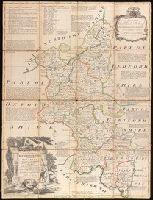
- Beinecke Rare Book and Manuscript Library > An accurate map of Buckingham Shire divided into its hundreds : drawn from the best authorities assisted by the most approved modern maps with various improvements. Illustrated with historical extracts relative to natural history, produce, trade and manufactures and the present state of the principal towns / by Eman. Bowen, Geogr. to His Majesty.
- Creator:
- Bowen, Emanuel, 1693 or 1694-1767
- Published / Created:
- [1785]
- Call Number:
- BrSides Double Folio 2019 90
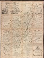
- Image Count:
- 1
- Resource Type:
- Maps, Atlases & Globes
- Found in:
- Beinecke Rare Book and Manuscript Library > An accurate map of Northampton Shire divided into its hundreds : and laid down from the best authorities, assisted by the most approved modern maps, with various improvements, illustrated with historical extracts relative to its natural produce, trade, manufactures & present state of its principal towns / by Eman. Bowen Geogr. to His Majesty.
- Creator:
- Senex, John, -1740
- Published / Created:
- [between 1750 and 1769?]
- Call Number:
- 71 1755B
- Container / Volume:
- BRBL_00363
- Image Count:
- 1
- Resource Type:
- Maps, Atlases & Globes
- Found in:
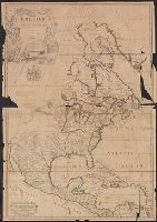
- Beinecke Rare Book and Manuscript Library > North America : corrected from the observations communicated to the Royal Society at London and the Royal Academy at Paris / by John Senex F.R.S., 1710.
- Creator:
- Senex, John, -1740
- Published / Created:
- [between 1750 and 1769?]
- Call Number:
- 71 1755B
- Container / Volume:
- BRBL_00363
- Image Count:
- 1
- Resource Type:
- Maps, Atlases & Globes
- Found in:
- Beinecke Rare Book and Manuscript Library > North America : corrected from the observations communicated to the Royal Society at London and the Royal Academy at Paris / by John Senex F.R.S., 1710.