Search
You Searched For
Search Results
- Creator:
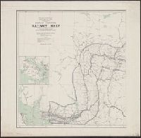
- Canada. Dept. of the Interior
- Published / Created:
- 1908
- Call Number:
- 739 1908
- Container / Volume:
- BRBL_00388
- Image Count:
- 2
- Resource Type:
- Maps, Atlases & Globes
- Found in:
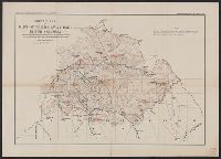
- Beinecke Rare Book and Manuscript Library > British Columbia railway belt / Dept. of the Interior ; prepared under the direction of R.E. Young, Superintendent of Railway and Swamp Lands ; James White, F.R.G.S., geographer.
- Creator:
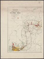
- Canada. Dept. of the Interior
- Published / Created:
- 1907
- Call Number:
- 739G 1907
- Container / Volume:
- BRBL_00392
- Image Count:
- 2
- Resource Type:
- Maps, Atlases & Globes
- Found in:
- Beinecke Rare Book and Manuscript Library > British Columbia railway belt / Dept. of the Interior; prepared under the direction of R.E. Young, Superintendent of Railway and Swamp Lands; James White, F.R.G.S., geographer.
- Creator:
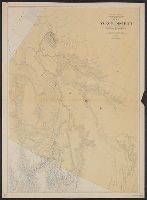
- Canada. Department of the Interior
- Published / Created:
- 1903
- Call Number:
- 741 1903
- Container / Volume:
- BRBL_00395
- Image Count:
- 1
- Resource Type:
- Maps, Atlases & Globes
- Found in:
- Beinecke Rare Book and Manuscript Library > Map of Yukon District [cartographic material] : with the adjacent northern part of British Columbia.
- Creator:
- Marion, Israel
- Published / Created:
- 1888
- Call Number:
- 739 1888
- Container / Volume:
- BRBL_00388
- Image Count:
- 1
- Resource Type:
- Maps, Atlases & Globes
- Found in:
- Beinecke Rare Book and Manuscript Library > Map of a portion of the southern Interior of British Columbia : embodying the explorations made in 1877 by G.M. Dawson, and in 1882-4 by Amos Bowman / drawn by Israel Marion.
- Creator:
- Canada. Topographical Survey
- Published / Created:
- [1909]
- Call Number:
- 739CBF B386 1909
- Container / Volume:
- BRBL_00391
- Image Count:
- 1
- Resource Type:
- Maps, Atlases & Globes
- Found in:
- Beinecke Rare Book and Manuscript Library > Sketch map of part of the railway belt, British Columbia : showing main topographical features in the districts drained by the Blaeberry River, Bush River, Gold Creek and their confluents. Also the Continental Divide northwest from Mt. Freshfield.
- Creator:
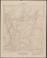
- Canada. Dept. of the Interior
- Published / Created:
- 1924
- Call Number:
- 739G 1924
- Container / Volume:
- BRBL_00392
- Image Count:
- 1
- Resource Type:
- Maps, Atlases & Globes
- Found in:
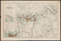
- Beinecke Rare Book and Manuscript Library > Southern British Columbia : showing disposition of lands within the railway belt / Department of the Interior, Canada.