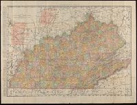
Adjacent states of Maryland and Pennsylvania shown in detail but without color. and Includes numbered table of references identifying shipping stations of different railroads in Virginia.
Rand McNally & Co.'s new business atlas map of Washington., The Rand-McNally vest pocket map of Washington., and Washington
Description:
Below scale: Rand McNally & Co.'s new business atlas map of Washington., In lower left: Copyright 1895 by Rand McNally & Co., Indexed on verso., Indexed., Relief shown by hachures and spot heights., and Shows counties and railroads.
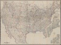
New official railroad map of the United States, Canada and Mexico.
Description:
Includes 9 insets., Insets: Atlantic Coast states, enlarged scale ; Important cities., Northern Canada and southern Mexico not shown., On verso: Publisher's advertisements., and Relief shown by hachures.
Publisher:
Rand McNally,
Subject (Topic):
Railroads--Canada--Maps, Railroads--Mexico, North--Maps, Railroads--North America--Maps, and Railroads--United States--Maps
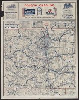
Auto trails map of Colorado, Auto trails map, Denver and vicinity., Official 1924, auto trails map of Colorado, and Rand McNally detailed auto trails map, Denver and vicinity.
Description:
Distributed by the Continental Oil Company., On verso: Rand McNally detailed auto trails map, Denver and vicinity. Scale [ca. 1:500,000]., Relief shown by hachures and spot heights., and Shows trail and highway markings.
Publisher:
Rand McNally & Company,
Subject (Geographic):
Colorado--Maps
Subject (Name):
Continental Oil Company
Subject (Topic):
Roads--Colorado--Denver Region--Maps and Roads--Colorado--Maps
Rand McNally stratoview map of eastern Asia from the Philippine Sea. and Reference map of the Pacific Ocean with 29 large-scale insets of island groups.
Description:
On verso, [ca. 1:13,125,000]: Rand McNally stratoview map of eastern Asia from the Philippine Sea.
Publisher:
Rand McNally & Co.,
Subject (Geographic):
East Asia--Maps, Islands of the Pacific--Maps, and Pacific Ocean--Maps
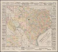
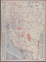
"Rand McNally road map, United States" (scale [ca. 1:10,200,960], 1 in. = approx. 161 miles), text, and distance table on verso., Copyright: Rand McNally & Company., In lower right: 1-463629V-7., Includes mileage chart and index., and Relief shown pictorially and by spot heights.
Publisher:
The Company,
Subject (Geographic):
California--Maps
Subject (Name):
Randall Motor Club
Subject (Topic):
Roads--California--Maps and Roads--United States--Maps